Managing estuaries is a careful balance…
Estuaries are ever changing and can be both open and closed to the sea at their mouth. Estuary closures are natural events that provide many environmental benefits. However, they also pose risks to surrounding assets by inundating farm land, cultural heritage, roads and recreational infrastructure.
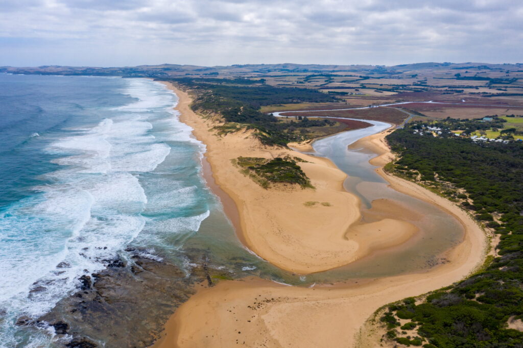
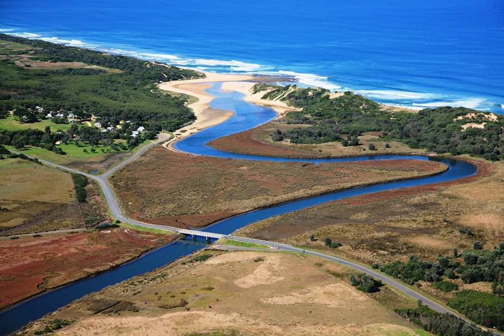
Powlett River/Kugerungmome Estuary
The Powlett River/Kugerungmome Mouth is listed as a wetland of national significance and covers 580km². It is a beautiful spot popular with families and for recreational fishing. Many rare and endangered plant and animal species call this estuary home including:
- saltmarsh and coastal woodland vegetation
- fish including estuary perch and silver trevally
- birds including hooded plover, eastern great egret and orange-bellied parrot.
Like many estuaries the Powlett naturally closes its connection to the ocean during low river flows. The conditions that lead to estuary closures are difficult to predict and occur intermittently. Estuary closures are a natural process, one that has helped to shape the unique wetland system at the mouth of the Powlett River.
The following programs and projects have been implemented to ensure the condition of this estuary is maintained and improved.
Estuary Entrance Management Support System
The Estuary Entrance Management Support System is a decision support tool. We use this to advise of the risks to socio-economic and ecological assets, associated with an artificial opening of an estuary.
Estuary Management plan
We have developed an Estuary Management Plan (EMP) and three fact sheets.
Powlett River Estuary Management Plan Summary Fact Sheet
Powlett River Estuary Management Plan Values Fact Sheet
Powlett River Estuary Management Plan Threats Fact Sheet
Estuary Management view
An estuary management review was undertaken to establish a better understanding on improving the management of future estuary closures. Trends and patterns, past estuary openings and closures, and potential effects on key values were all analysed. A list of recommendations has been developed to help improve the management and preserve these values into the future. To find out how to get involved in monitoring your estuary, visit our EstuaryWatch page.


Questions about Powlett River/Kugerungmome Estuary closure
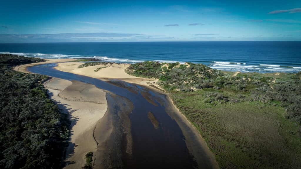
The water level is high because a sand bar has formed at the mouth of the estuary, blocking water from flowing out to sea and capturing all ocean water that flows over the sand bar into the estuary. This causes water levels in the estuary to rise and inundate (i.e. cover) the adjacent wetland environment.
The sand bar developed in January 2025 due to low rainfall and moderate swells and tides.
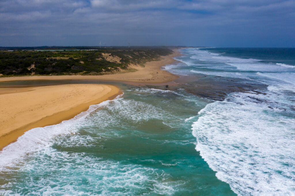
The Powlett River/Kugerungmome estuary is an intermittently closing estuary, which naturally closes its connection to the ocean, due to the development of a sand bar at the river mouth.
It is not known how often and for how long, estuary closures would have occurred prior to European settlement. Though since European settlement, closures have occurred at least once every seven years, usually between summer and winter.
The estuary can remain closed for several months at a time, before naturally opening its connection to the ocean. Natural openings occur when high water levels and river flows cause the sand bar to break open and release the water out to sea.
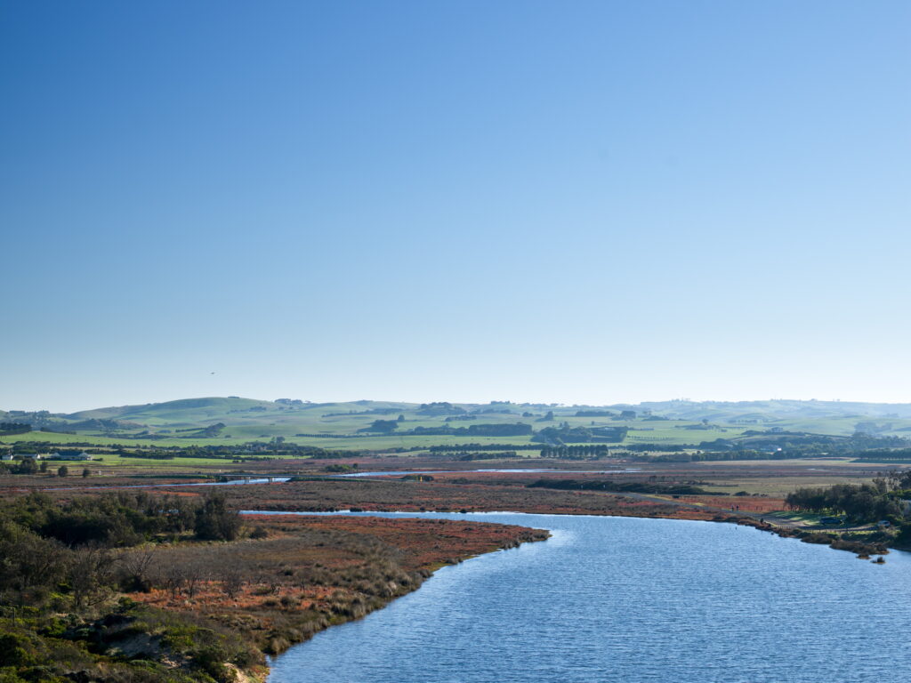
The closure of the estuary and the associated inundation is required to maintain the condition of the wetland that surrounds the estuary. This wetland provides critical habitat for many species of fish, birds and invertebrates that seek food and shelter, some of which are listed as critically endangered.
The majority of the wetland is only inundated during a closure event, which may only happen once every seven years. It is very important to let this natural process occur, otherwise the integrity of the surrounding wetland and the species it supports maybe jeopardised.
As water levels increase during a closure, water proceeds to cover adjoining farmland, surrounding carparks and eventually the Mouth of Powlett Road east of the bridge. Making access to the Caravan Park, and private properties located on this side of the estuary difficult.
During a closure all of these things are taken into consideration, and appropriate measures are taken to ensure landholder and caravan park patron safety and access.
An artificial estuary opening will only be considered if the impact of the inundation is assessed as a significant risk to the integrity of the estuary’s environmental, socio-economic or cultural values if it was to remain closed.
This risk assessment is undertaken by WGCMA and is informed by a decision tool called EEMSS: Estuary Entrance Management Support System. EEMSS generates risk ratings (insignificant, minor, moderate, major and extreme) for all known environmental, socio-economic and cultural values associated with the estuary at a given water level height and duration of inundation at that height.
Risk ratings are given to each value under an opening or not opening scenario. EEMSS was populated for the Powlett estuary by us with help from local landholders, community members and stakeholders.
If it is decided that an artificial opening is needed based on a risk assessment, a feasibility assessment must be undertaken before the estuary can be opened. This involves assessing water quality, river flow, ocean conditions and access to the estuary mouth. If these conditions are not suitable, an opening will not take place, until they are.
For example, in other parts of Victoria, artificial openings have occurred when water quality conditions were not suitable, causing extensive fish kills. This occurs when dissolved oxygen (DO) levels are low in the bottom waters of an estuary. Due to the low DO levels in the bottom waters, fish and other aquatic invertebrates survive in the oxygenated top waters, which are the first to be released during an artificial opening. This leaves fish and aquatic invertebrates stranded in the low oxygen bottom waters, where they suffocate and die.
The WGCMA are responsible for monitoring the closure conditions, carrying out the risk assessment and making the decision whether to artificially open the estuary or not.
Parks Victoria undertakes the artificial opening, if required and it is safe to do so, under our guidance.
Bass Coast Shire Council manages the impacts associated with roadway flooding and landholder access to the eastern side of the Mouth of the Powlett Road bridge.