Keeping the Carran Carran (Thomson River) flowing…
This project focuses on the Carran Carran (Thomson River) and Rainbow Creek between the Cowwarr Weir and the township of Heyfield.
We have two informative videos below for you to enjoy. In the first one ‘Flagship Project – Mid Thomson River’ our Waterways Project Officer, David Stork talks about the Thomson (Carran Carran) River and the creation of the Rainbow Creek. Video number two ‘Nurturing a rainbow – Managing the Thomson’ David together with Elsa Burnell one of our Project Delivery Officers talk about the exciting work that has been happening and what they hope to achieve next.
It will implement actions within the Thomson River and Rainbow Creek Waterway Management Plan, which was developed in collaboration with community and agency representatives during 2019 and 2020.
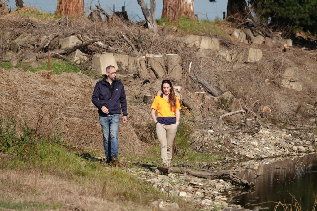
The project will seek to address the risk of avulsion (where a waterway creates a new path in times of flood) across the agricultural land between the Carran Carran (Thomson River) and Rainbow Creek. This will require partnerships with landholders and on ground works to remove willows, treat avulsion ‘hotspots’, plant native vegetation and fence off waterways.
The program of works will see improved waterway health, with benefits for agriculture, the community and the Gippsland Lakes.
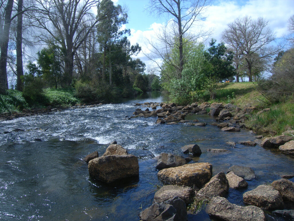
The Thomson River and Rainbow Creek waterways provide important bio links between the Victorian high country and the Gippsland Lakes. The mid Thomson River and Rainbow Creek have also been identified as high-risk sites for future avulsion events.
Such an event would prove damaging to agricultural businesses on the waterways and pose significant risk to the Gippsland Lakes with the carriage of sediments into Lake Wellington.
The Rainbow Creek was formed in the 1950s after a major flood event, causing significant disruption to the local community and downstream. Without active management of flow at Cowwarr Weir, Rainbow Creek would be the preferred flow path of the Thomson River. Managed interventions can reduce the likelihood of avulsion and consequent disruption to livelihoods and the environment.
Community members including landholders along the Rainbow Creek and mid Thomson River, as well as representatives from local government, Southern Rural Water and the West Gippsland Catchment Management Authority, worked through 2019 and 2020 to develop the Thomson River-Rainbow Creek Waterway Management Plan.
This plan was developed using an evidence-based approach, informed by science, modelling, benefit: cost analysis and the knowledge and expertise of local people.
It sought to measure proposed interventions against five criteria or values:
Agriculture
- Maintain current agricultural productivity and infrastructure (to reduce avulsion risk).
Amenity
- Riparian vegetation provides improved visual amenity and contributes to community use.
Recreation
- Enhance recreation use at key sites on Rainbow Creek (eg: Rainbow Park and Cowwarr).
Natural (riparian)
- Rainbow Creek and Thomson River are fenced to manage stock and revegetated with appropriate indigenous species
- Rainbow Creek and Thomson River are ‘willow free’
- Ensure flow regimes maintain natural values.
Waterway stability and downstream benefits
- Rainbow Creek and Thomson River are managed to enhance waterway stability, reduce floodplain and bank erosion, and reduce sediment transport (locally and downstream)
- Risk of damage to built and natural assets from waterway instability is significantly reduced.
- By 2024, one of five avulsion hot spots along the mid Thomson River is treated to reduce avulsion risk
- By June 2024, high threat weeds have been treated, stock excluded, and native vegetation established on 7.5 ha (inclusive of 3 ha of heavy thick willow infestation treatment) of the mid Thomson River and Rainbow Creek to reduce avulsion risk, increase condition and connectivity of riparian habitat and improve water quality.