Current and upcoming water for the environment deliveries….
Releases are dependent on many factors, and can often change, so it is important to keep up to date by checking back here regularly for the most current information.
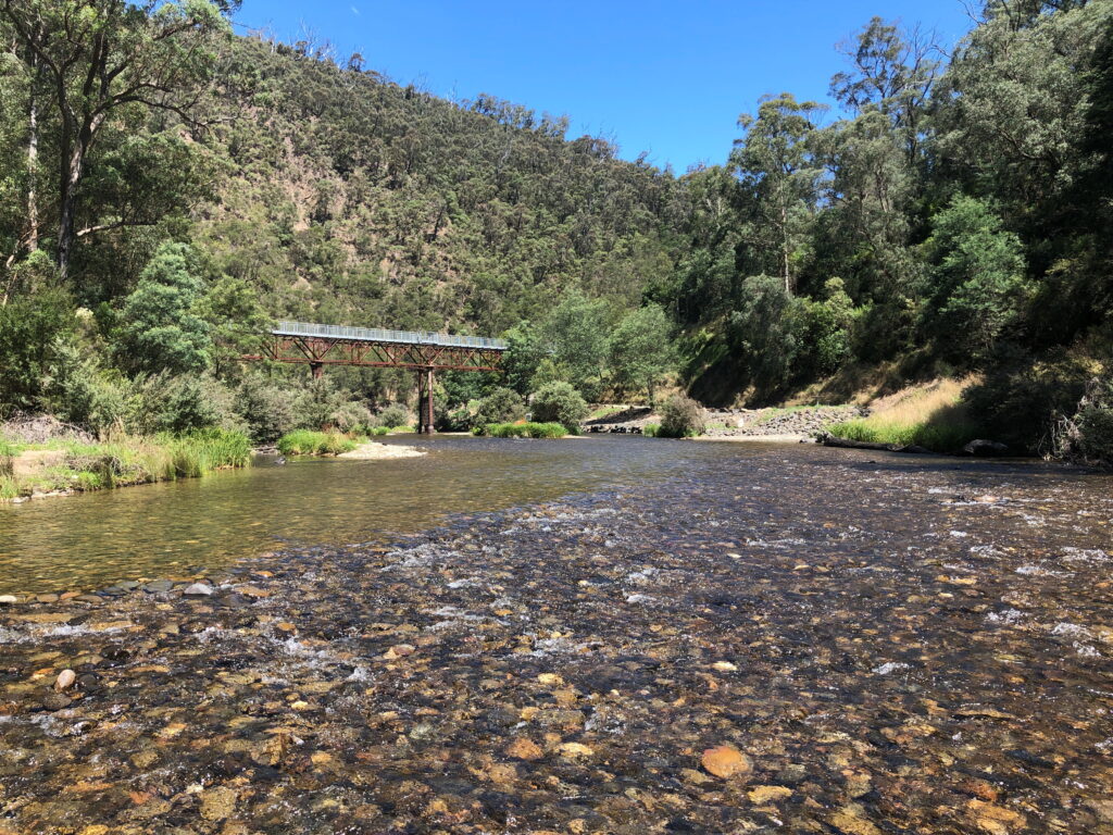
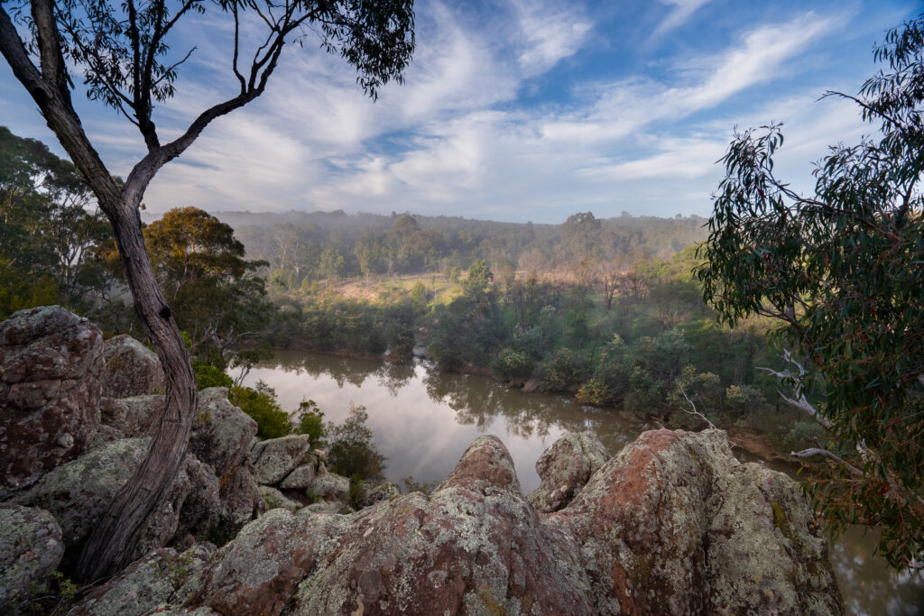
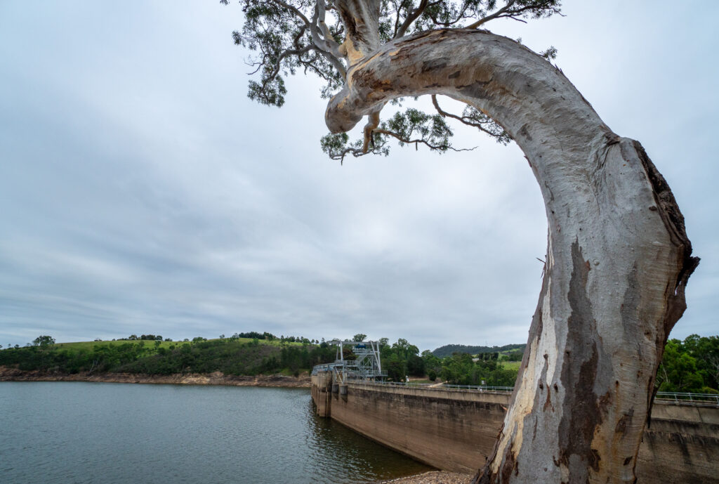
Carran Carran (Thomson River)
Water for the environment delivery planned.
A water for the environment delivery is planned for Carran Carran (Thomson River), with dams and storages typically capturing increased autumn inflows from rainfall, the river downstream of the reservoir has lower flows than would naturally occur at this time of year.
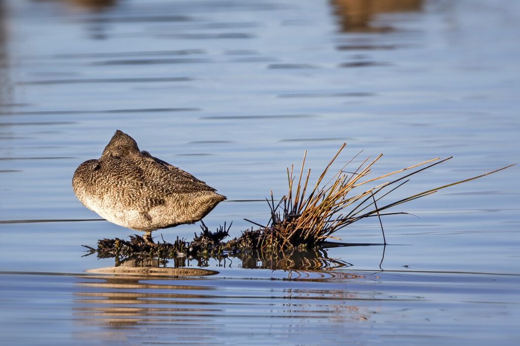
A continuous low flow is being provided through to the end of May helps to help water quality and instream connectivity, providing easier access to habitat for waterbugs, fish and platypus.
Flows from the Thomson River also contribute freshwater to the lower reaches of the Latrobe River and the lower Latrobe wetlands.
This system has no current or scheduled water for the environment releases.
Previous environmental water deliveries in the Gippsland region, can be found here
Page updated 1 April 2026
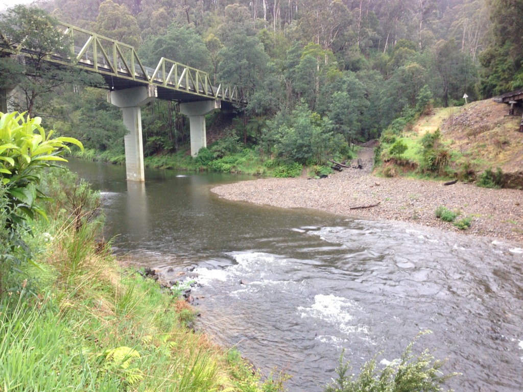
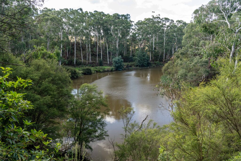
Durt’Yowan (Latrobe River) & Tanjil River
This system has no current or scheduled water for the environment releases.
Previous environmental water deliveries in the Gippsland region, can be found here.
Page updated 12 August 2025
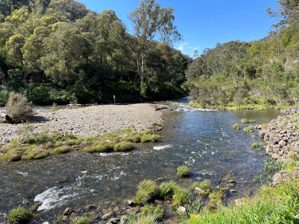
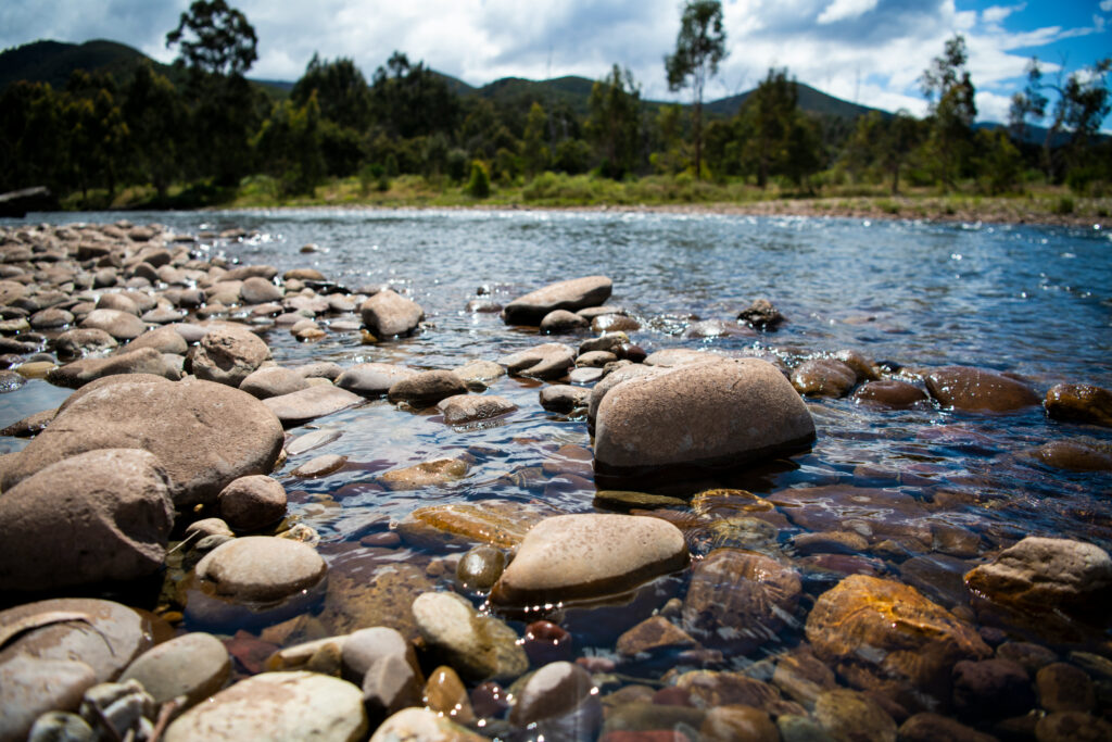
Wirn wirndook Yeerung (Macalister River)
Water for the environment delivery planned.
A water for the environment delivery is planned for Wirn wirndook Yeerung (Macalister River), with dams and storages typically capturing increased autumn and winter inflows from rainfall, the river downstream of the reservoir has lower flows than would naturally occur at this time of year.
A continuous low flow through to the 14th of August helps to maintain the depth and connection between instream pools, providing access to habitat for water bugs, fish and platypus.
Previous environmental water deliveries in the Gippsland region, can be found here.
Page updated 30 April 2026