Mapping Gippsland Lakes’ wetland vegetation
West Gippsland Catchment Management Authority (CMA) staff along with ecologist Doug Frood took the opportunity to survey the important and diverse wetland plants on Durt’Yowan (Latrobe River) floodplains as waters began receding after multiple wet years.
The surveys, undertaken on private land, are part of the Love Our Lakes program of works made up of 48 projects, being delivered by 22 partners to work together to protect and enhance the health of the Lakes.
As part of the Lower Latrobe Wetlands Flora and Fauna Monitoring, the project aims to map 3,576 hectares of vegetation and revisits existing vegetation monitoring undertaken in 2015. Results will monitor any change in condition of the sites and inform their ongoing management.
“This project will allow us to better understand the conditions of wetland vegetation within the Lower Latrobe area. It will also allow us to track the average condition of the vegetation and how cattle grazing and water regime impacts its quality,” said project consultant Doug Frood, from Pathways Bushland and Environment.
Results from the surveys will be included in the final report being prepared over the next few months and provide an invaluable resource that maps the vegetation and provides species lists for the lower Latrobe floodplain and lower Latrobe wetlands (Heart Morass, Dowd Morass and Sale Common).
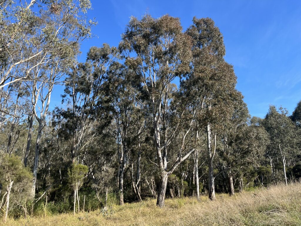
In this latest study, the team set up ten metre by ten metre quadrants at two sites to record the plant species and their percentage of cover in the floodplain habitat. At one site, despite appearing reasonably bare and having evidence of cattle grazing, the team found a broad range of native plant species including water ribbon, slender knotweed, water milfoil and more. The second site featured a biodiverse floodplain woodland environment including additional species such as Swamp paperbark, prickly current bush and more.
“Lower Latrobe Wetlands make up a very significant fringing wetland for the Gippsland Lakes. The area’s plants, frogs and birdlife link to the world renowned Gippsland Lakes Ramsar wetland.”
“Surveying these woodland and wetland floodplain environments helps us to understand change in the native plants over time and also how they vary from season to season,” said Dr Adrian Clements, Environmental Water Officer for West Gippsland CMA.
“It’s really valuable to speak with the landholders to understand some of the changes they have noted over the years – especially the last four to five years which have seen the area flooded more often than dry,” said Dr Adrian Clements.
“This area of Durt’Yowan (Latrobe) has some of the best floodplain habitat in Gippsland and we’re keen to work with landholders to maintain and improve its condition for years to come, benefiting both the farmers and the environment.”
This project is part of a $248 million investment by the Victorian Government to improve the health of waterways and catchments. Of this, $7.5 million is being provided to improve the health of Gippsland Lakes over three years (2021-2024), through support to the Gippsland Lakes Coordinating Committee and for the delivery of on-ground works and community engagement.
Full details of the Gippsland Lakes projects are available at loveourlakes.net.au