Keeping the cows out and the wildlife in
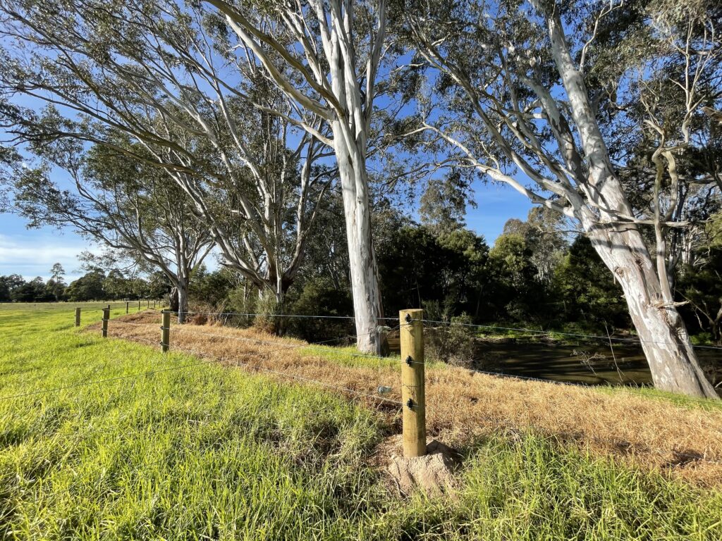
Over 300 hectares of valuable biodiversity areas on agricultural land will be fenced to protect waterways, remnant vegetation, threatened species and livestock thanks to West Gippsland Catchment Management Authority (the CMA)’s farm fencing grants.
“Fences are a practical solution to protecting biodiversity and livestock – but they can be expensive, especially if you’re trying to fence-off a long, meandering creek,” explained Sam Shannon, Sustainable Agriculture Facilitator at the CMA.
“The farm fencing grants help with the cost of fencing materials and labour so farmers can protect waterways and ecologically sensitive areas on their properties while also improving the management of farm operations.”
Delivered under the Climate Smart Farmers program, the grants are a partnership between farmers, the CMA and in many cases, Landcare.
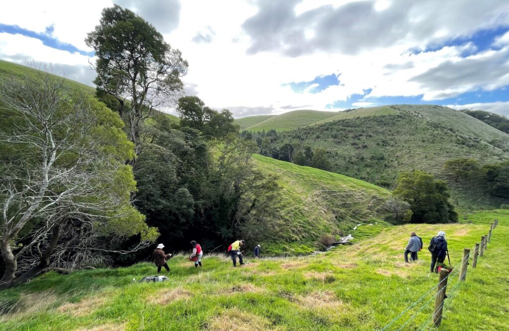
“Many of the landholders will use the funding to continue existing biodiversity protection efforts, such as willow removal, while others have joined forces with local Landcare groups to combine the fencing work with revegetation projects.”
In total, 50 kilometres of fencing will be installed at properties across the catchment.
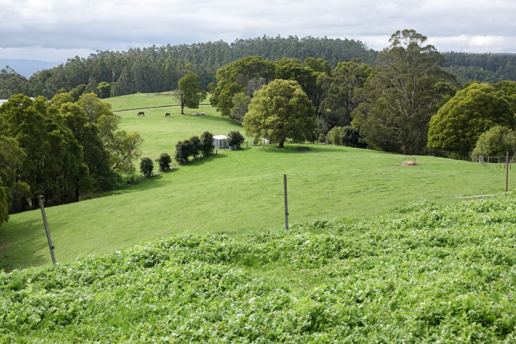
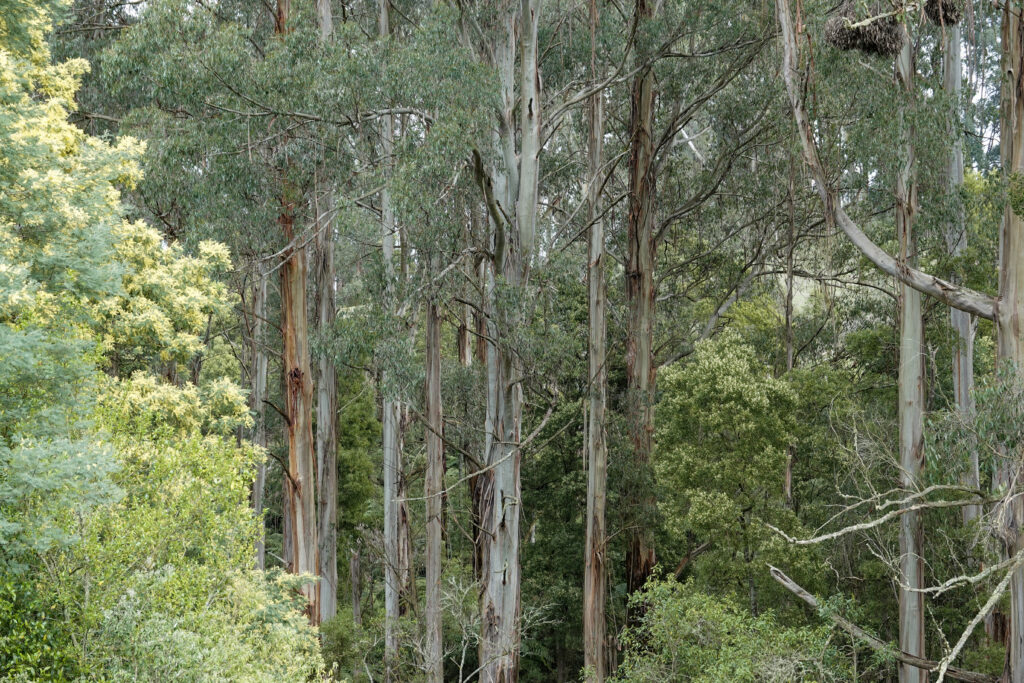
Farmer and ‘forest steward’ Sue Neales is using the grant to protect the high ecological value of her 320 acre beef and sheep farm in West Gippsland. Situation high on the hills of Mt Worth, the unique property is surrounded by towering Mountain Ash and the ancient fern gully rainforests of Mt Worth State Park (Bunurong Country).
Sue, together with her partner Rob Wiencke, plan to transform an exposed area of paddock high on a hilltop into valuable shelter, shade and wind protection for cattle by fencing and revegetating the area with species such as area with species such as Messmate, Mountain grey gum, manna gum and Strzlecki – eucalyptus species that once dominated the landscape before logging in the early 1900s.
The couple would also like to see if it is possible to return Myrtle beech and sassafras trees in their 200 acres of privately-owned cool climate Mountain Ash (eucalyptus Regnans) rainforest; two timber species that have disappeared completely from the Mount Worth ecosystem since logging days and which a large deer population makes it difficult to reestablish.
Where the land descends steeply into thick bush, an eroding gully will be re-fenced and planted out with native plants to prevent further erosion and reduce sediment flowing into Moonlight Creek, a tributary of the Tarwin River.
Finally, the main farm dam will be completely fenced off to reduce erosion and create a haven for wildlife.
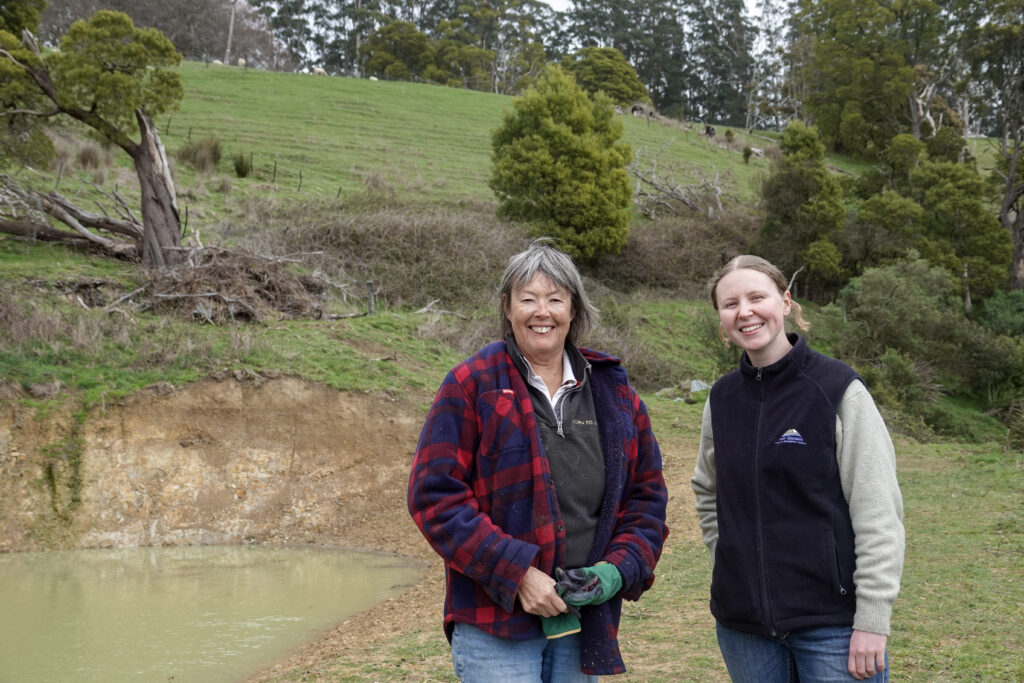
“Fencing the dam will keep the livestock and feral deer out so we can plant native trees and shrubs and connect the area to surrounding bush,” said Sue, who is being supported by the Mt Worth and District Landcare Group.
“Hopefully it will become an oasis filled with birds, fish and wildlife.”
In addition to enhancing biodiversity value, the plants surrounding the dam will help to stabilise a steep slope and prevent a landslip into an adjoining property. Reeds, rushes and other native grasses will also act as a filtering system, ensuring high quality drinking water that is essential for livestock health.
“We couldn’t have afforded to do these projects without the farm fencing grant. It’s a big help,” concluded Sue.
Across the other side of the West Gippsland catchment, Andrew and Alison Missen are taking meaningful steps to protect the health of Merrimans Creek by fencing it off to limit livestock access and crossings.
Using the grant, the Missens will fence 1,150 metres of creek frontage to help reduce erosion, improve water quality and conserve the riparian habitat along the waterway which flows through their Hiamdale property and borders the Merrimans Creek Flora Reserve on Gunaikurnai Country.
“These grants demonstrate how partnerships between the CMA, farmers and Landcare are a winning combination for both the environment and agriculture and contribute to the CMA’s vision of a healthy and resilient catchment,” said the CMA’s Sam Shannon.
“Once the fences are up, we’ll start to see natural regeneration of the land with plants growing and wildlife returning. In the future, as trees grow, we’ll see more shade and shelter for livestock while the overall environmental value and health of the property improves. Everybody wins.”
The $1.68m Climate Smart Farmers project is supported by the Australian Government through funding from the Natural Heritage Trust under the Climate-Smart Agriculture Program.
West Gippsland CMA is responsible for over 40,000 kilometres of designated waterways across the region and delivers programs for healthy and resilient catchments. All these waterways flow to the Victorian coast, discharging through the Gippsland Lakes, or directly into Bass Strait and the Southern Ocean.
Become a river lover
Find out more about the work we do and sign up to our e-news for updates, you can also sign up for Environmental Water updates.
Celebrating a 25-year pivot towards sustainable farming future
This year, West Gippsland Catchment Management Authority (CMA) is celebrating the 25th anniversary of its sustainable irrigation program and the long-term partnerships that have been central to its success.
The joint initiative between the CMA, Agriculture Victoria and local farmers has resulted in a remarkable transformation of irrigated land and water use across central Gippsland.
Since launching in 2000, the successful program has delivered over 1,200 irrigation improvement projects in the Macalister Irrigation District (MID) and across the Lake Wellington Catchment – home to important river systems like Durt’Yowan (Latrobe), Wirn wirndook Yeerung (Macalister) and Avon rivers.
“The CMA is incredibly proud to celebrate over two decades of effort to reduce the environmental impact of irrigation by keeping water and nutrients on farm and out of local waterways that flow into the Gippsland Lakes,” said CEO of West Gippsland CMA, Martin Fuller.
“We’re pleased to share what’s been achieved in partnership with Ag Vic, Southern Rural Water, Gippsland Water, Wellington Shire, the Environment Protection Authority Victoria, GippsDairy, Food and Fibre Gippsland and of course the irrigation community.
“Thanks to the sustained, collective efforts of farmers, agencies and local irrigation communities, we’re now seeing a total of 47 gigalitres of water worth $85 million dollars being saved every year. That’s a huge financial benefit for irrigators and a boost to water security for the region’s agricultural industry.”
Encouraging irrigators to embrace sustainable irrigation practiced has been key to the program’s success and over the years attitudes have shifted.
“Twenty-five years ago, environmental challenges weren’t as well understood,” explained Anthony Goode, the CMA’s Sustainable Irrigation Program Coordinator who’s worked on the program for 14 years.
“It’s a huge credit to those farmers who put their hands up in the early days to get involved and trial new irrigation methods and systems for the benefit of the wider irrigation community.”
“It’s not an exaggeration to say we’ve now partnered with nearly all landholders in the MID, achieving 94% coverage of the district with farm irrigation plans. Combined with the 179 spray conversions, 299 reuses systems and 70 best practice surface irrigation projects it adds up to a remarkable, long-term transformation of irrigated farmland.”
And the results speak for themselves, with over 46 gigalitres of nutrient rich water carrying an estimated 23 tonnes of phosphorus being retained on farm every year for the benefit of soil health and pasture productivity. This reduces the need to buy-in synthetic fertilisers all while protecting surrounding waterways from run-off.
“A classic win-win,” said Anthony.
Agriculture Victorian Irrigation Extension Officer Alexis Killoran said: “The transformation doesn’t end with the hundreds of millions of dollars of farmer investment into farm plans and irrigation infrastructure on farm, though that in itself is a testament to the farmers of the region.
“There is also a continual demand from farmers and their staff for irrigation training and demonstrations offered by Agriculture Victoria extension staff. This ranges from the basics of irrigation workshops offered to new staff, through to technical workshops on pump efficiency or soil moisture monitoring.
“This emphasis on knowledge growth and upskilling leads to excellent productivity and environmental outcomes, with farmers and staff irrigating to best practice standards using modern infrastructure.”
Following the success of the last 25 years, the program is forging into the future. Now, even more irrigators are set to benefit as it expands beyond the MID for the first time, with producers in Thorpdale coming on board as well as farmers along Durt’Yowan (Latrobe River) and in the upper reaches of the Lake Wellington catchment.
Looking ahead to the next 25 years, Anthony is excited to continue working with partners and farmers to keep land and waterways healthy and in good shape for future generations.
“Our vision is to reach a point where we can proudly say that the irrigation community is having zero impact on waterways and is actually benefiting waterways and catchment health. That will be a fantastic day,” concluded Anthony.
This program a part of the Department of Energy, Environment and Climate Action’s Sustainable Irrigation Program (SIP), implemented in Gippsland by Agriculture Victoria and the WGCMA.
West Gippsland CMA is responsible for over 40,000 kilometres of designated waterways across the region and delivers programs for healthy and resilient catchments. All these waterways flow to the Victorian coast, discharging through the Gippsland Lakes, or directly into Bass Strait and the Southern Ocean.
Become a river lover
Find out more about the work we do and sign up to our e-news for updates, you can also sign up for Environmental Water updates.
Victorian Landcare Grants announced
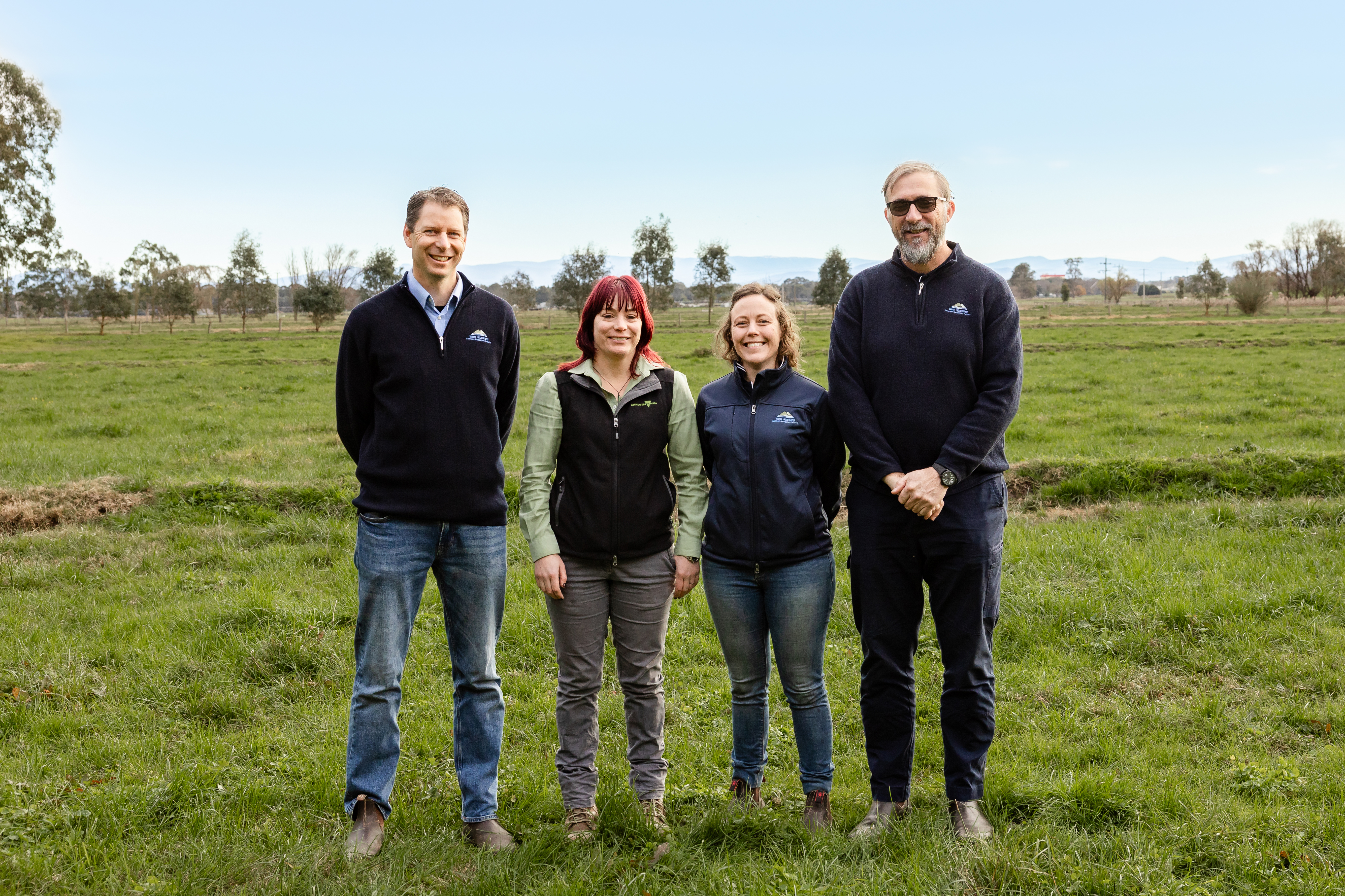
Landcare volunteers across West Gippsland will transform landscapes, protect endangered local species and green much-loved community spaces after receiving $337,250 in funding from the 2025 Victorian Landcare Grants.
Announcing the grant recipients, Minister for Environment Steve Dimopoulos said each funded project was making a difference to enhance and protect Victoria’s great outdoors.
“Landcare and environmental volunteer groups make a significant contribution to our communities managing projects that restore and enhance our parks, coastlines, nature reserves and waterways,” he said.
This year, a total of $3.6 million in grants will support 509 Landcare and environmental volunteer groups across the state, including 50 groups in the West Gippsland catchment.
Local projects include enhancing biodiversity in Anderson’s Inlet with the help of community planting days, engaging students in major conservation efforts along Flooding Creek and working with landholders to fence and revegetate a length of Billy Creek in Stacey’s Bridge.
“I’m delighted that these grants will support local Landcare and environmental groups to deliver 22 project grants and 28 support grants,” said Martin Fuller, CEO of West Gippsland CMA.
“Taking action for your local area comes in many shapes and forms and these latest grant projects demonstrate the important role Landcare plays in transforming landscapes while helping communities thrive. Not only will they lead to over 30,000 trees planted across west Gippsland, each project will help connect more people to nature and inspire the next generation of environmental stewards and river lovers.”
“We are extremely lucky and grateful to have such a strong Landcare community in our patch. I look forward to seeing these projects come to life,” concluded Marty.
Bonnie Reeves from Maffra and Districts Landcare Network is excited to start work on a major restoration project along Flooding Creek in Sale, with the aim of attracting more birds and create a tree-filled, natural space for the urban community to enjoy.
“Being awarded a Victorian Landcare Grant is fantastic because it means we can work on a much larger scale and have a bigger, longer-lasting impact in the community,” said Bonnie.
Students will be involved in bird monitoring and conservation activities, helping to connect younger people with Landcare and nature.
“The project is really beneficial for people in town who don’t have natural spaces on their doorstep. When I walk along the creek now, I hear cars, cattle trucks and urban noise. In a few years’ time I want to be walking under the shade of the trees we’ve planted and be deafened by the sounds of birds who’ve taken up residence in the nest boxes,” Bonnie said.
For a full list of West Gippy projects funded under this year’s grants, visit the 2025 Victorian Landcare Grant recipients webpage.
The Victorian Landcare Grants and Victorian Junior Landcare and Biodiversity Grants support the implementation of Protecting Victoria’s Environment – Biodiversity 2037, the Victorian Government’s long-term plan to protect the state’s environment.
West Gippsland CMA is proud to be appointed by the Victorian Government as the Regional Landcare Coordinator for West Gippsland supporting the region’s five vibrant Landcare Networks.
West Gippsland CMA is responsible for over 40,000 kilometres of designated waterways across the region and delivers programs for healthy and resilient catchments. All these waterways flow to the Victorian coast, discharging through the Gippsland Lakes, or directly into Bass Strait and the Southern Ocean.
Become a river lover
Find out more about the work we do and sign up to our e-news for updates.
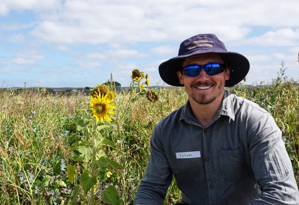
Carbon Calculator Events – Carbon Accounting for farmers
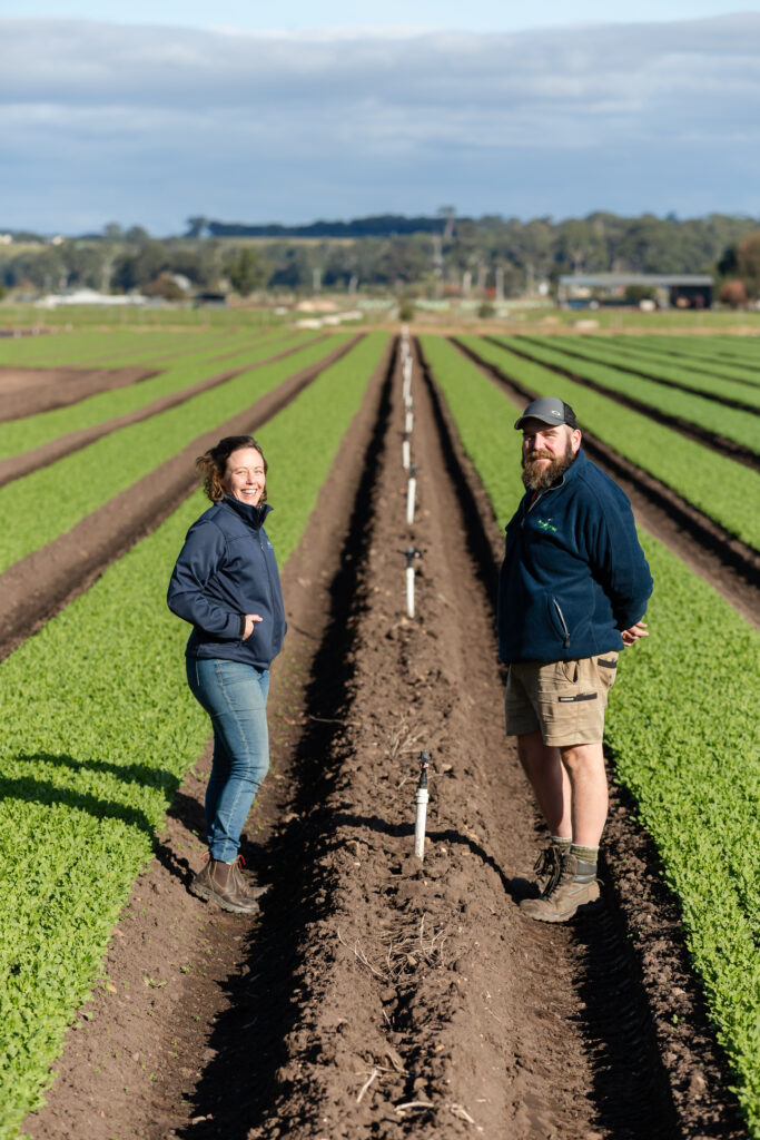
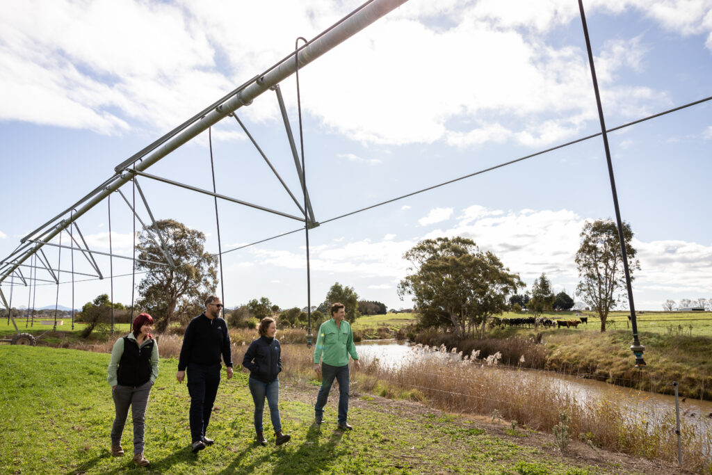
Banks, processors and insurance companies are increasingly offering incentives or premiums to farmers who have calculated their farm emissions. Come along to these short, interactive sessions to get a better understanding of carbon farming, carbon accounting, and to estimate your own farm’s emissions footprint.
Presenters
- Local farmer Nick Dudley
- Pragna Prathap from Agriculture Victoria
Day One – An introduction to carbon farming and carbon accounting
Date: Tuesday 28 October, 2025
Time: 10am – 12.30pm (lunch provided)
Location: West Gippsland CMA, 16 Hotham Street, Traralgon
Cost: Free – all welcome but please register
Day Two – Bring your own laptop (or borrow one of ours) to work through an online carbon calculator to estimate your own farm’s emissions footprint.
Date: Tuesday 11 November, 2025
Time: 10am – 1.00pm (lunch provided)
Location: West Gippsland CMA, 16 Hotham Street, Traralgon
Cost: Free – all welcome but please register
Event partners:
This program is delivered with funding support from the Commonwealth of Australia through the Department of Climate Change, Energy, the Environment and Water under the National Carbon Farming Outreach Program.
Nature Positive Farming: land, livestock, people, profit
Join us for a field day packed with practical knowledge, local experience, and inspiration on a farm in Tarwin Lower.
Jenny and Paul O’Sullivan invite you to Malabar Farm to share their valuable insights into sustainable farming. Hear how critical decisions have benefited their bottom line and shaped their farming philosophy.
Alison Kelly, Agriculture Victoria will explain the process of estimating your farm greenhouse gas emissions, and the power of ‘knowing your number’.
Peter Ronalds, Inspired Ag Solutions will dive into long-term soil test results and explore how recent dry conditions may have impacted carbon levels.
Date: Thursday 20 November, 2025
Time: 10.00am – 2.00pm (lunch provided)
Location: Tarwin Lower
Cost: Free event – all welcome but please register.
This event is one of a series of workshops offered under our Carbon Farming Outreach Program, which provides free training for farmers across the West Gippsland catchment to better understand their emissions and learn the benefits of carbon farming.
Event partners:
The Victorian Carbon Farming Outreach Program is delivered with funding support from the Commonwealth of Australia through the Department of Climate Change, Energy, the Environment and Water under the National Carbon Farming Outreach Program. The Program is delivered through a partnership between Agriculture Victoria, 10 Catchment Management Authorities and Landcare Victoria and other bodies.
Rivers take centre stage in West Gippsland
River lovers around the world will unite this World Rivers Day, Sunday 28 September, and West Gippsland Catchment Management Authority (CMA) is taking the opportunity to highlight their beauty and importance and give them a special ‘thank you’ for working so hard to allow us the quality of life we all enjoy.
“West Gippsland’s rivers give us water to drink and use, support agricultural productivity and enrich our lifestyles,” said Martin Fuller, CEO of West Gippsland CMA.
“Rivers are also living entities filled with life and cultural significance. Our work at the CMA aims to give back to the catchment by restoring and reconnecting rivers to transform them from working rivers to healthy rivers where the natural cycles are working again.”
Restoring rivers requires a planned and long term approach working along their course from their source in the mountains to where they enter the sea. West Gippsland CMA cares for 40,000 kilometres of waterways that flow into Bass Strait, the Southern Ocean and Gippsland Lakes.
“The CMA team follows the lead and knowledge of Traditional Owners and works with landholders, partners and community. Our vision is of a healthy catchment where native fish and wildlife can thrive, agriculture is productive and sustainable and the community can enjoy and contribute to river health in their own area of the catchment.”
Across the world, rivers need help and the unique model of Victoria’s Catchment Management Authorities allows teams to be on the ground delivering dedicated works towards river health. In 2024-25, working on programs funded by the Australian and Victorian governments, West Gippsland CMA delivered:
- 204 hectares of revegetation
- 1,194 hectares of weed control
- 312,084 hectares of pest animal control
- events attended by 2,330 people.
The CMA also celebrated 20 years of allocating water specifically to help the environment in the Carran Carran (Thomson River) and a quarter of a century of sustainable irrigation initiatives in the Macalister Irrigation District with over 1,200 irrigation improvement projects across 94% of the district.
“We love rivers and are proud to be working for them in West Gippsland. We hope you’ll join us in caring for the waterway in your local patch,” Martin concluded.
World Rivers Day is a celebration of the world’s waterways. It highlights the many values of our rivers, strives to increase public awareness, and encourages the improved stewardship of all rivers around the world. Rivers in virtually every country face an array of threats, and only through our active involvement can we ensure their health in the years ahead.
Become a river lover
Find out more about the work we do and sign up to our e-news for updates, you can also sign up for Environmental Water updates.
About the river lovers at West Gippsland CMA
With a focus on rivers and their catchments, the CMA works every day to improve catchment health through a range of programs and projects spanning from working towards self determination for Traditional Owners, partnering with legends like Landcare, Trust for Nature and Greening Australia and building relationships with the amazing landholders and community who are willing to work for river and catchment health.
The CMA delivers programs for rivers to remove weeds, fence and revegetate waterways, recover from floods, deliver water for the environment to bring rivers back towards their natural flows, restore wetlands and work with farmers to be at the forefront of sustainable agriculture.
This work ultimately flows onto a more healthy and resilient home for wildlife and the West Gippsland community.
Effluent management event
Join us to learn how to make to most of dairy effluent with compost industry pioneer Tony Evans.
Dairy effluent is a valuable source of nutrients that can save you money. Learn how to make the most of it on your farm at a free workshop for dairy farmers presented by Tony Evans, founding director of Camperdown Compost.
This workshop will explore different effluent management options, including composting, fermentation and biogas.
You’ll learn:
- Pros and cons of different systems
- How to get the best out of the organic resources on a dairy farm
- How much extra nutrient is really required on a dairy farm.
Make your dairy farm more resource savvy, less reliant on imported nutrients and less exposed to commodity price fluctuations.
Date: Wednesday 15 October 2025
Time: 10.00am – 2.00 pm (lunch provided)
Location: Macalister Demonstration Farm, 285 Boggy Creek Road, Riverslea
Cost: Free event – all welcome, but please register.
This event is part of our Climate Smart Farming program, supporting Gippsland farmers to adopt sustainable agriculture practices that benefit farming, the environment and the bottom line.
About the presenter
From dairy farmer (Victorian Farm Apprentice of the year 1985), to compost industry pioneer, Tony Evans has decades of experience turning waste into a valuable nutrient resource.
Event partners
This event is supported by Agriculture Victoria’s Drought Support Package and by the Australian Government through funding from the Natural Heritage Trust under the Climate-Smart Agriculture Program.
Love and positive results for the Gippsland Lakes
New homes for native fish, seagrass friendly moorings, annual pelican counts, renourishing islands for endangered birds and much more – that’s the dynamic Gippsland Lakes program in action with achievements detailed in the latest program summary report demonstrating the importance of collaborative, sustained effort.
The precious series of coastal lagoons and fringing wetlands covers over 60,000 hectares and is fed by five major rivers across its 20,000 square kilometre catchment that connects to the ocean at Lakes Entrance.
The program operates under the Love Our Lakes banner to deliver innovative, collaborative projects informed by the Gippsland Lakes Ramsar Site Management Plan with the Gippsland Lakes Priorities Plan identifying the highest priority management actions.
Over the three-year program, 22 regional partners planned and delivered 34 projects, with an additional 15 Community Grant projects and 17 Ramsar specific projects. Challenges were tackled together through a collaborative approach resulting in projects successfully delivered on the ground.
“We respectfully acknowledge the Gunaikurnai as the Lakes’ Traditional Owners who have cared for Country for tens of thousands of years and continue to do this with a key objective of the Gippsland Lakes program empowering Traditional Owners through Joint Management and self-determination with Gunaikurnai Land and Waters Aboriginal Corporation identifying and addressing threats to priority cultural and environmental values within the Gippsland Lakes,” said Bec Hemming, CEO of East Gippsland CMA.
Across the entire three-year program, efforts built on previous works and created pathways for future successes with highlights including:
- 1,500 Cultural assessments and four projects led and delivered by Gunaikurnai Traditional Owners
- Once in a decade White-bellied Sea-eagle surveys recorded, 45 actives nests
- Six hectares of sand renourishment to create habitat for threatened birds
- Ten seagrass friendly moorings developed and installed
- Fifteen ‘frog bog’ wetlands installed to improve habitat for threatened frogs
- Three seagrass restoration trial sites established
- Five fish habitats created and native fish released
- Thirty threatened Dwarf Kerrawang plants translocated into Blond Bay
- Endangered wildlife protected through 27,700 hectares of pest animal control
- Waterways connected and protected through 2,250 hectares of weed control and 130 hectares of revegetation to connect and create wildlife habitat
- Local community and partners involved through 130 partnerships
- Rivers, wetlands and important habitat protected with 43 kilometres of protective fencing and bollards installed.
“All these numbers add up to a unique and significant investment in the Lakes’ future as a healthy catchment for us all to enjoy. We’d like to acknowledge and thank all partner organisations, agencies and community groups involved in the development and completion of the program,” Ms Hemming said.
“This report will further help guide and inform future efforts to maintain and improve the health of the much loved Gippsland Lakes,” Ms Hemming concluded.
Recognising the importance of the Gippsland Lakes to the community, the Victorian Government has invested $20 million since 2015 to protect and improve the ecological and community values supported by the Lakes. In addition, a further $6 million was recently announced by Minister for Water Gayle Tierney to continue support for the Lakes.
The Victorian Government also established the Gippsland Lakes Coordinating Committee in 2015 to improve the environmental health of the Gippsland Lakes. The committee plays a critical role in advocating and supporting for the long-term health of Gippsland Lakes and their catchments, overseeing investment in community and agency projects.
How water for the environment helped rescue the beloved Thomson
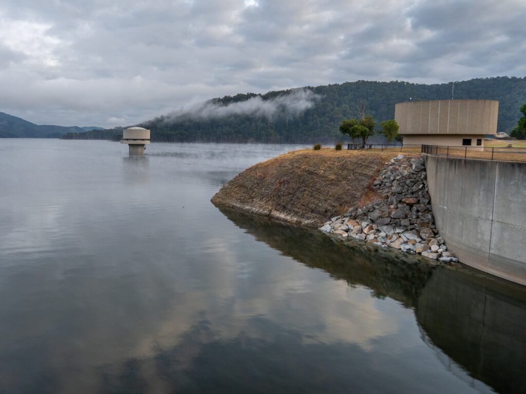
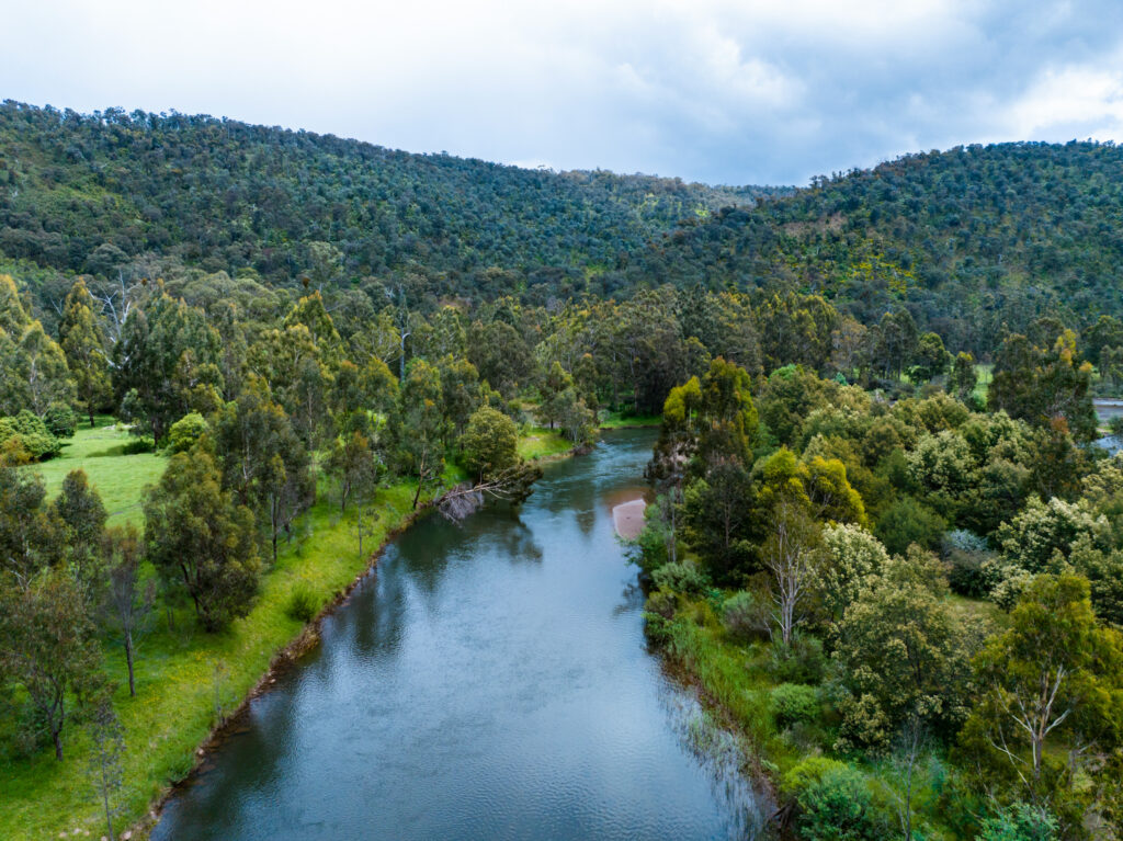
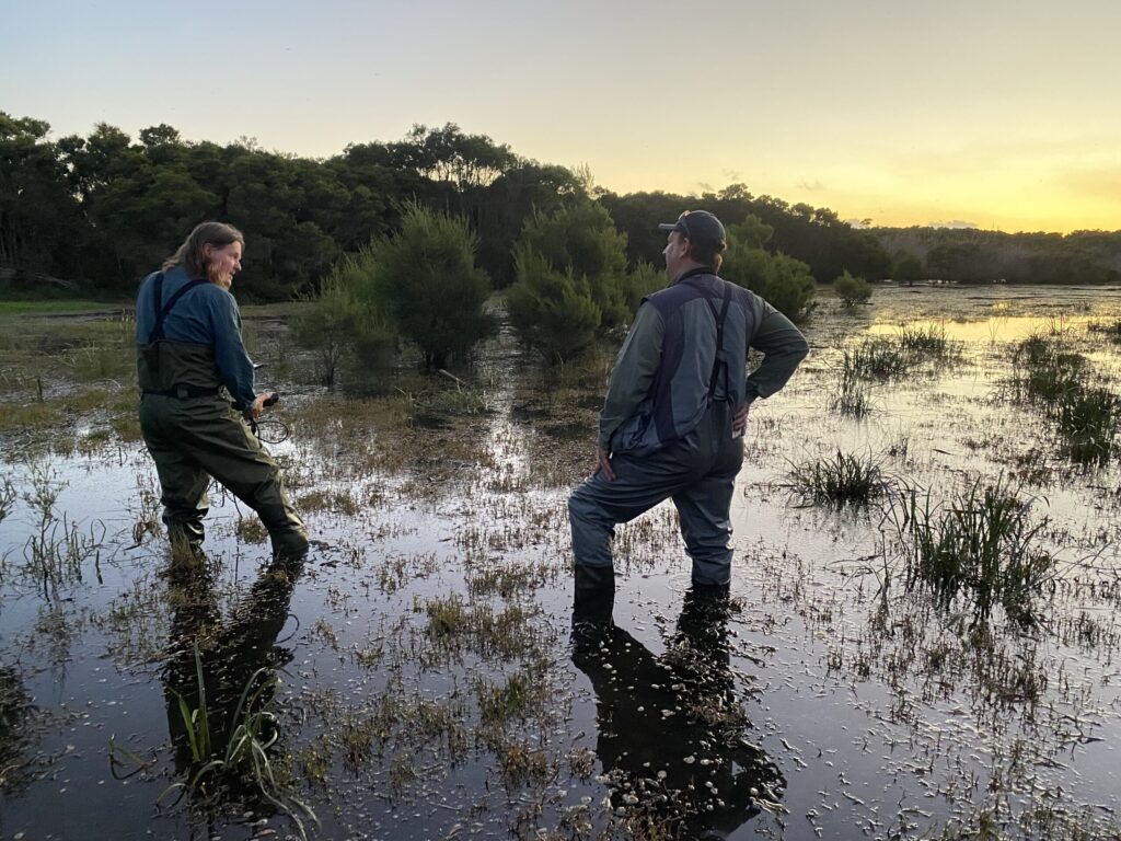
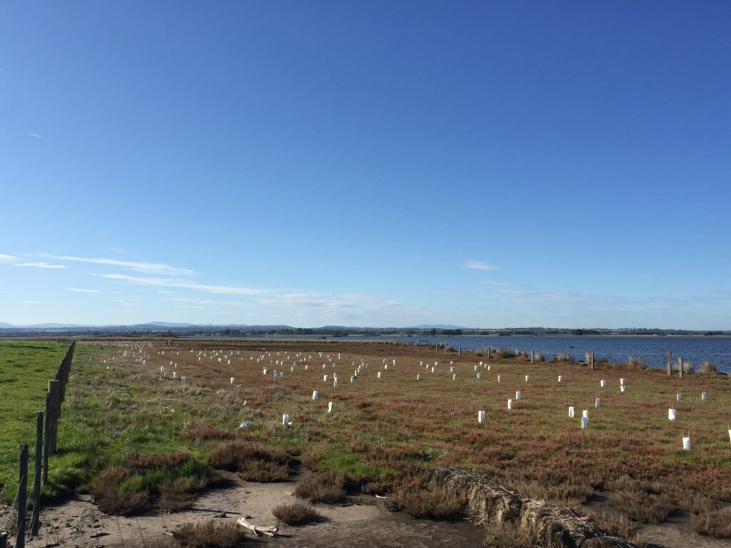
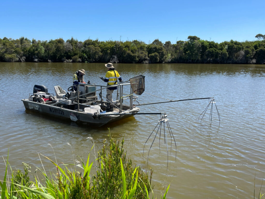
West Gippsland Catchment Management Authority is celebrating 20 years of delivering water to keep the much-loved Thomson River (Carran Carran) alive, flowing and healthy.
After the devastation of the Millenium drought, legislation was put in place to protect Victorian waterways from stress and ensure the survival of these precious aquatic ecosystems.
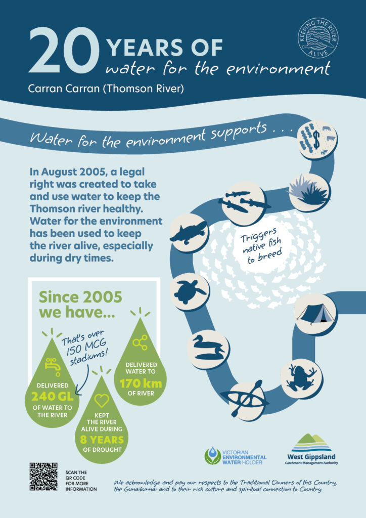
In August 2005, a legal right was created to take and use water from the Thomson Dam with the primary aim of improving the environmental condition of the Thomson river for the plants and animals that live there.
“The Thomson entitlement was the first of its kind in our region and one of the first in the state,” explained Dr Stephanie Suter, Environmental Water Officer for West Gippsland CMA.
“Known as water for the environment, it’s water that’s released into the river to support the environment and triggers native fish to breed. It literally keeps the river and wetlands alive – especially in dry times. We definitely think that’s worth celebrating!”
What’s also worth celebrating are the impressive stats over 20 years. Since 2005 we have:
- Delivered 240 gigalitres of water to the river
- Kept the river alive during eight years of drought
- Released water to 170 kilometres along the river.
“These water deliveries are just one of the important ways we support the Thomson. Other key measures include construction of fishways at Cowwarr and Horseshoe bend to reconnect the river for native fish and ongoing restoration works to remove weeds, install stock exclusion fences and plant native vegetation along the river and its tributaries. All these activities are part of the recipe for river and wetland health.”
Healthy, flowing rivers are also enjoyed by kayakers, canoe clubs, anglers, walkers, birdwatchers, campers, photographers, four wheel enthusiasts and more.
Celebratory webinar
To celebrate the 20th anniversary, we hosted a webinar on Wednesday 27 August.
- Environmental Water Officer, Dr Stephanie Suter talked about the Thomson Environmental Entitlement – how it can about and everything it’s achieved over the past 20 years.
- Waterways project Officer, David Stork talked about the fishways on the Thomson River – how they work and why they are important.
So, if you love your fishing, swimming, kayaking or just love rivers, you can listed to the webinar recording below.
West Gippsland CMA is responsible for over 40,000 kilometres of designated waterways across the region and delivers programs for healthy and resilient catchments. All these waterways flow to the Victorian coast, discharging through the Gippsland Lakes, or directly into Bass Strait and the Southern Ocean.
Become a river lover
Find out more about the work we do and sign up to our e-news for updates, you can also sign up for Environmental Water updates.
Pods, seeds and painting the landscape with trees
Trees grow from seeds that spring from a pod, so this National Tree Day, West Gippsland CMA is sowing the seed of just how important trees are for catchments with a special podcast that demonstrates the true superpower of trees.
On a picturesque farm just out of Foster, a small patch of remnant bush sits adjacent to paddocks where sheep and cattle graze. A lone creek trickles through the farm, its banks boggy and eroded due to years of stock grazing. This creek eventually flows into the world renowned Corner Inlet Ramsar Site – so what happens in this paddock has an impact on water quality in the inlet.
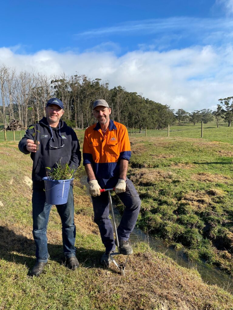
That’s why the CMA team are hard at work planting the next generation of trees next to Old Hat Creek – trees that will work hard to give homes for wildlife and help to keep stabilise banks and keep the waterway flowing, ultimately improving water quality downstream in Corner Inlet.
“Trees are a cornerstone of the CMA’s Corner Inlet Flagship project that aims to address water quality risks to the ecological character of the Corner Inlet Ramsar site and connect habitat along the waterways that flow into it,” said Tanya Cowell, Waterways Project Officer for West Gippsland CMA.
“Our vision is that by 2040, the waterways of the Corner Inlet Basin will be fringed with diverse and connected corridors of native vegetation, and the land managed to reduce downstream environmental impacts to protect the inlet’s valuable seagrass communities. There are community benefits too: improved raw water quality for drinking and industry, amenity of the landscape, and continued access to Victoria’s last sustainable bay and inlet fishery.”
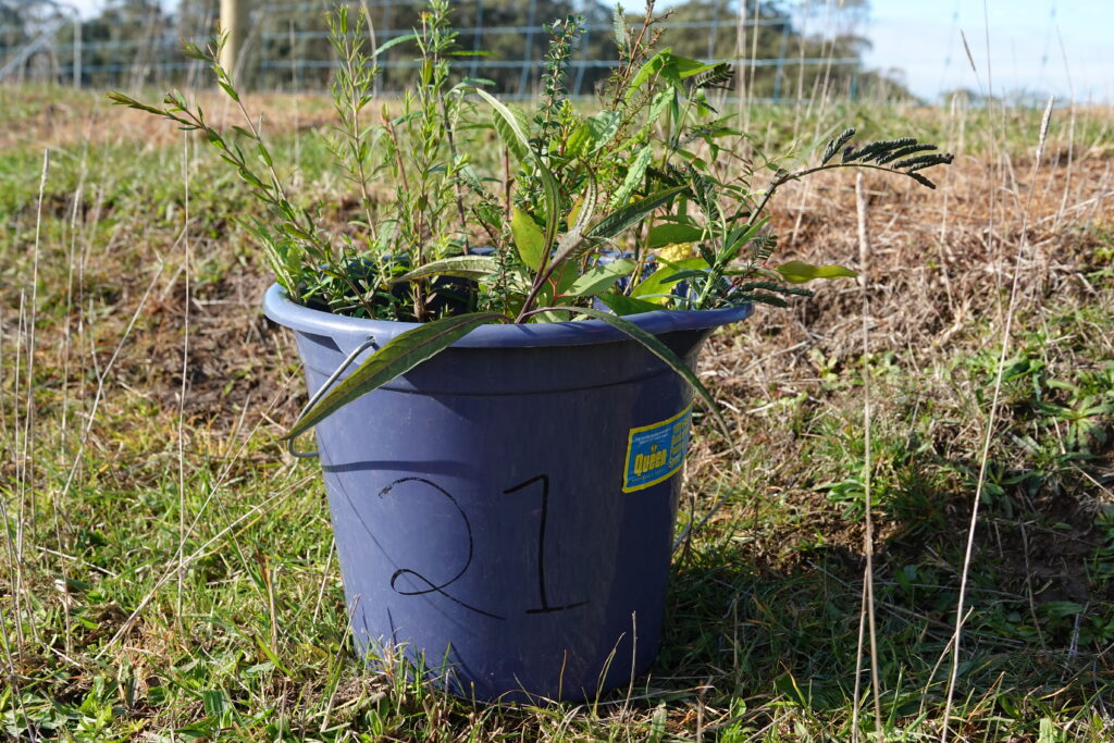
Planting trees is often the last, exciting step of a revegetation project. On this Foster property, four hectares of weed control and two kilometres of fencing were completed before the mix of 5,000 carefully selected shrubs and trees could be put in the ground. Planning for such intricate restoration takes a wealth of knowledge and passionate supporters.
“Putting a tree in the ground is the result of years of planning, and we work with locals who have an intimate knowledge and vast experience of growing trees endemic to the Gippsland region” said Matt Bowler Project Delivery Manager for the CMA who is one of those knowledge holders.
“We are lucky that we have a network and community that supports the seed collection, growing and planting process,” said Matt.
“We have great trust that what we plant will grow because they are suited to the soils and the conditions. When you plant a tree, you are doing it for future generations but in South Gippsland, we get to see the results more quickly because trees grow fast. You plant a tree in south Gippsland you can have a koala in the tree in five years,” said Matt.
Matt and colleague Richard Allen have planted millions of seedlings which they love seeing grow into forests that will become the next remnant forests as they drive across the catchment. They learn a lot from each planting project using lessons learned to help improve our future works.
“Linking plantings along waterways in a catchment makes sense to us – it protects the creek and creates linkages for wildlife and, tree-loving is infectious!” said Matt.
The Corner Inlet Flagship project is supported by the Victorian Government through the Victorian Waterways Management Program.
West Gippsland CMA is responsible for over 40,000 kilometres of designated waterways across the region and delivers programs for healthy and resilient catchments. All these waterways flow to the Victorian coast, discharging through the Gippsland Lakes, or directly into Bass Strait and the Southern Ocean.
Podcast launching – National Tree Day Sunday 27 July
Tune into join Matt and Rich talk trees and their work on this South Gippsland property.
Become a river lover
Find out more about the work we do and sign up to our e-news for updates.
