Farm field days coming up
Discover how farmers across the catchment are protecting the environment, boosting productivity and benefiting the bottom line.
During September 2025 and March 2026, West Gippsland CMA is running a series of workshops showcasing the benefits of sustainable agricultural practices and how farmers can tap into local expertise, knowledge and opportunities.
Held in partnership with local Landcare groups, the free workshops will cover a range of topics including soil health, managing biodiversity, effluent management, shelterbelts and biofertilisers.
Led by experts and hosted at local farms, the field days are an opportunity to learn about the benefits of sustainable agriculture and carbon farming while exploring opportunities available for agribusinesses in the West Gippsland catchment.
Upcoming events
We’ll update this list as more details are confirmed.
Enquiries
For more information about any of these events, contact Sam Shannon, Sustainable Agriculture Facilitator at West Gippsland CMA sams@wgcma.vic.gov.au or call 0409 944 114.
These events are offered under our Carbon Farming Outreach Program.
The Victorian Carbon Farming Outreach Program is delivered with funding support from the Commonwealth of Australia through the Department of Climate Change, Energy, the Environment and Water under the National Carbon Farming Outreach Program. The Program is delivered through a partnership between Agriculture Victoria, 10 Catchment Management Authorities, Landcare Victoria and other bodies.
Managing Biodiversity on Farms event
Join us for a farm walk and talk with South Gippsland ecologist Peter Gannon.
Join the West Gippsland CMA and Latrobe Catchment Landcare Network for a discussion and farm walk to hear practical advice about protecting biodiversity on your farm.
Learn about potential opportunities in carbon and biodiversity and grants to support farmers protect biodiversity.
Date: Friday 10 October 2025
Time: 10.30am – 2.00pm (lunch provided)
Location: Flynn (address supplied at registration)
Cost: Free event – all welcome but please register.
This event is one of a series of workshops offered under our Carbon Farming Outreach Program, which provides free training for farmers across the West Gippsland catchment to better understand their emissions and learn the benefits of carbon farming.
Event partners:
The Victorian Carbon Farming Outreach Program is delivered with funding support from the Commonwealth of Australia through the Department of Climate Change, Energy, the Environment and Water under the National Carbon Farming Outreach Program. The Program is delivered through a partnership between Agriculture Victoria, 10 Catchment Management Authorities and Landcare Victoria and other bodies.
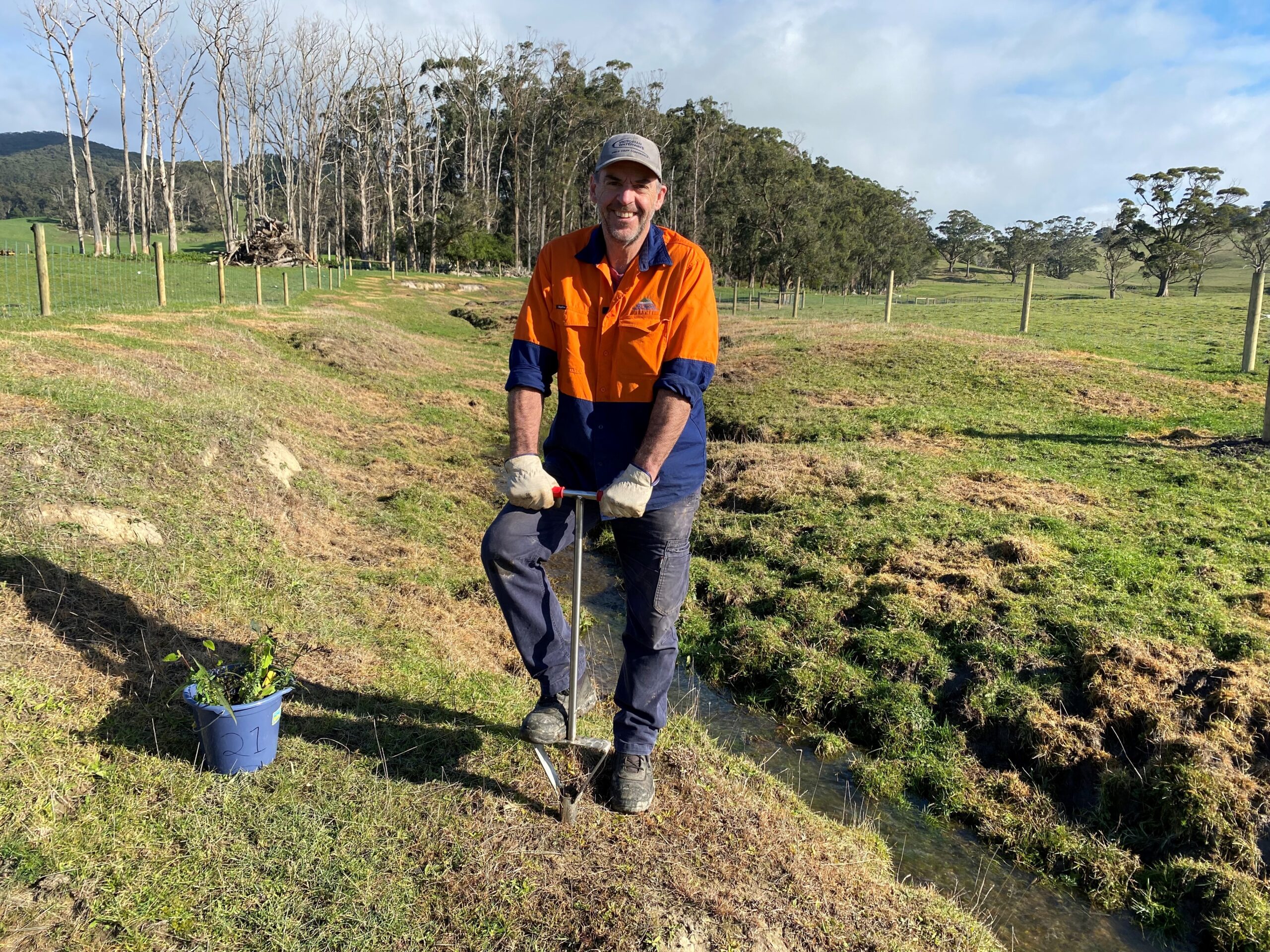
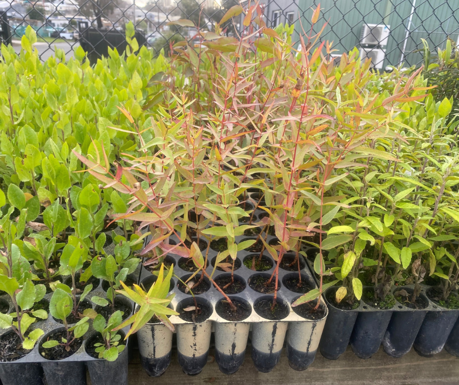
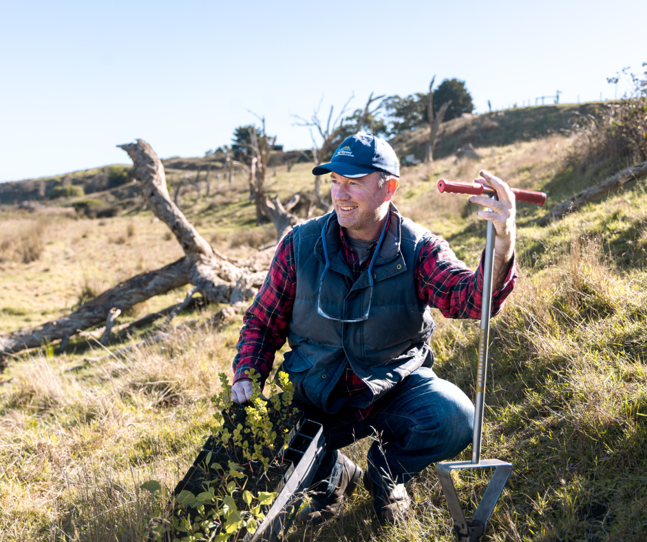
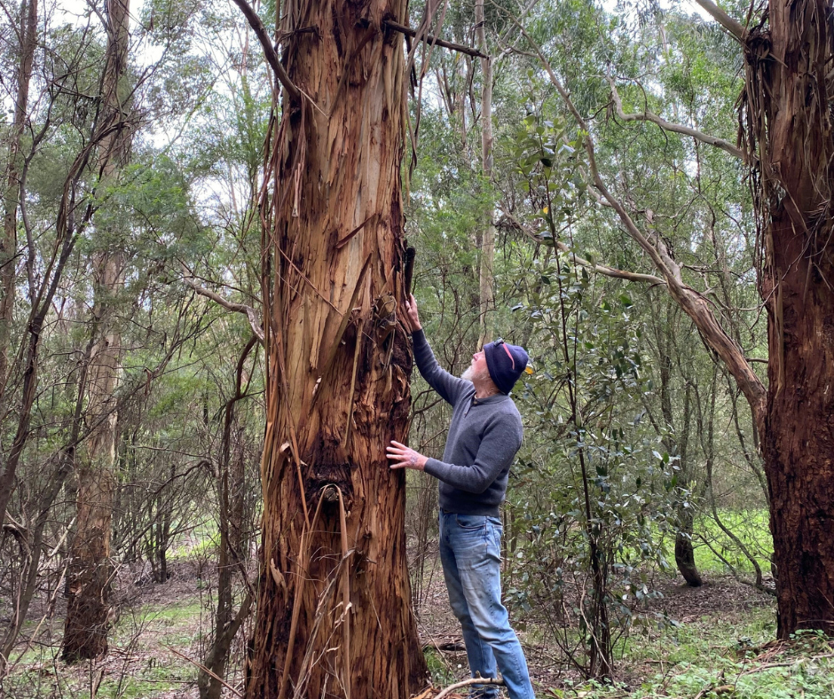
The superpower of trees
It’s true that tree-loving is infectious and in this special podcast episode for National Tree Day we hear all about the superpower of trees with two tree-loving experts Matt Bowler and Richard (Richie) Allen from the CMA who’ve collectively planted over a million seedlings across the West Gippy catchment in their work restoring and protecting rivers.
Richie, Matt and the CMA team are hard at work planting the next generation of trees next to Old Hat Creek – trees that will work hard to give homes for wildlife and help to keep stabilise banks and keep the waterway flowing, ultimately improving water quality downstream in Corner Inlet.
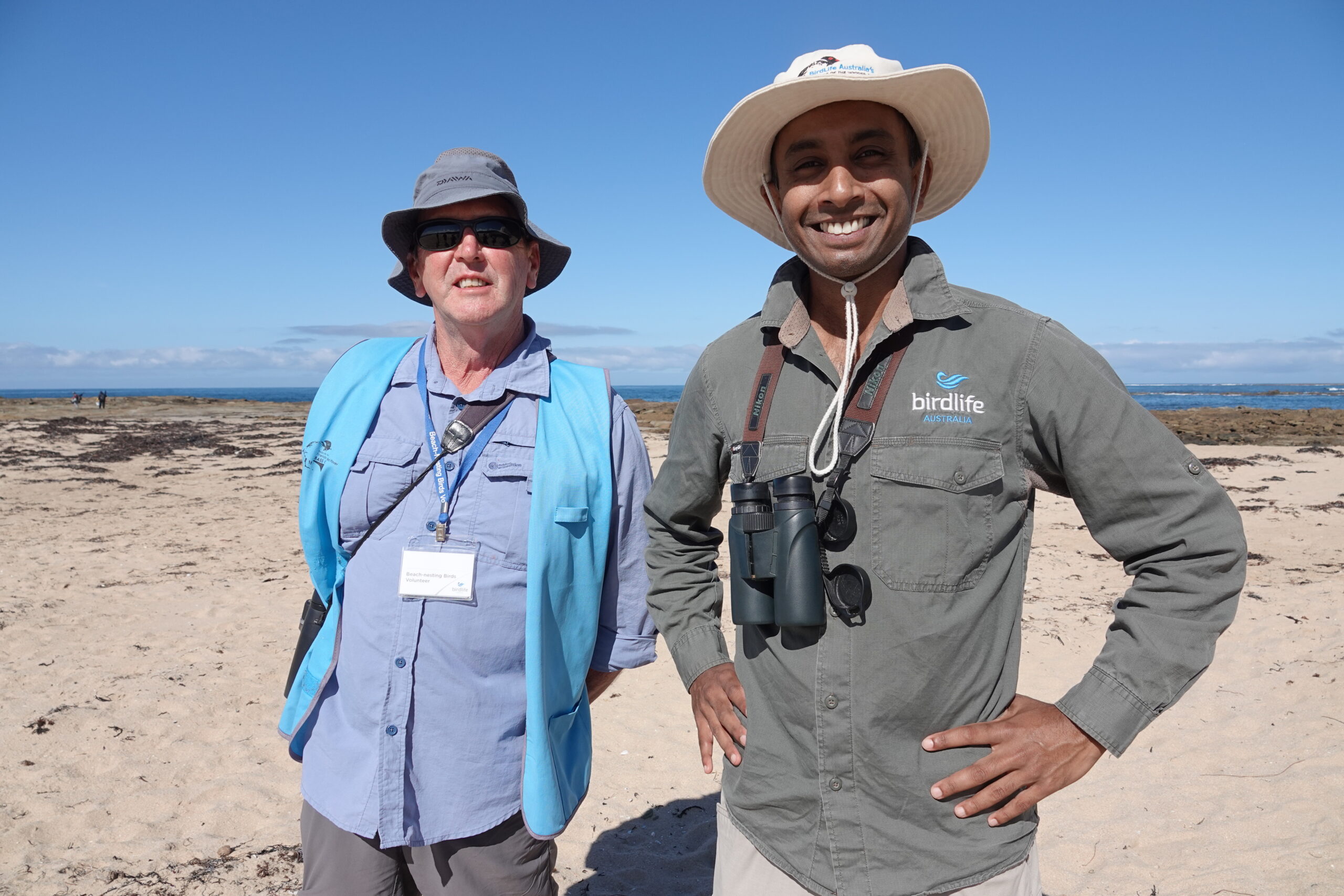
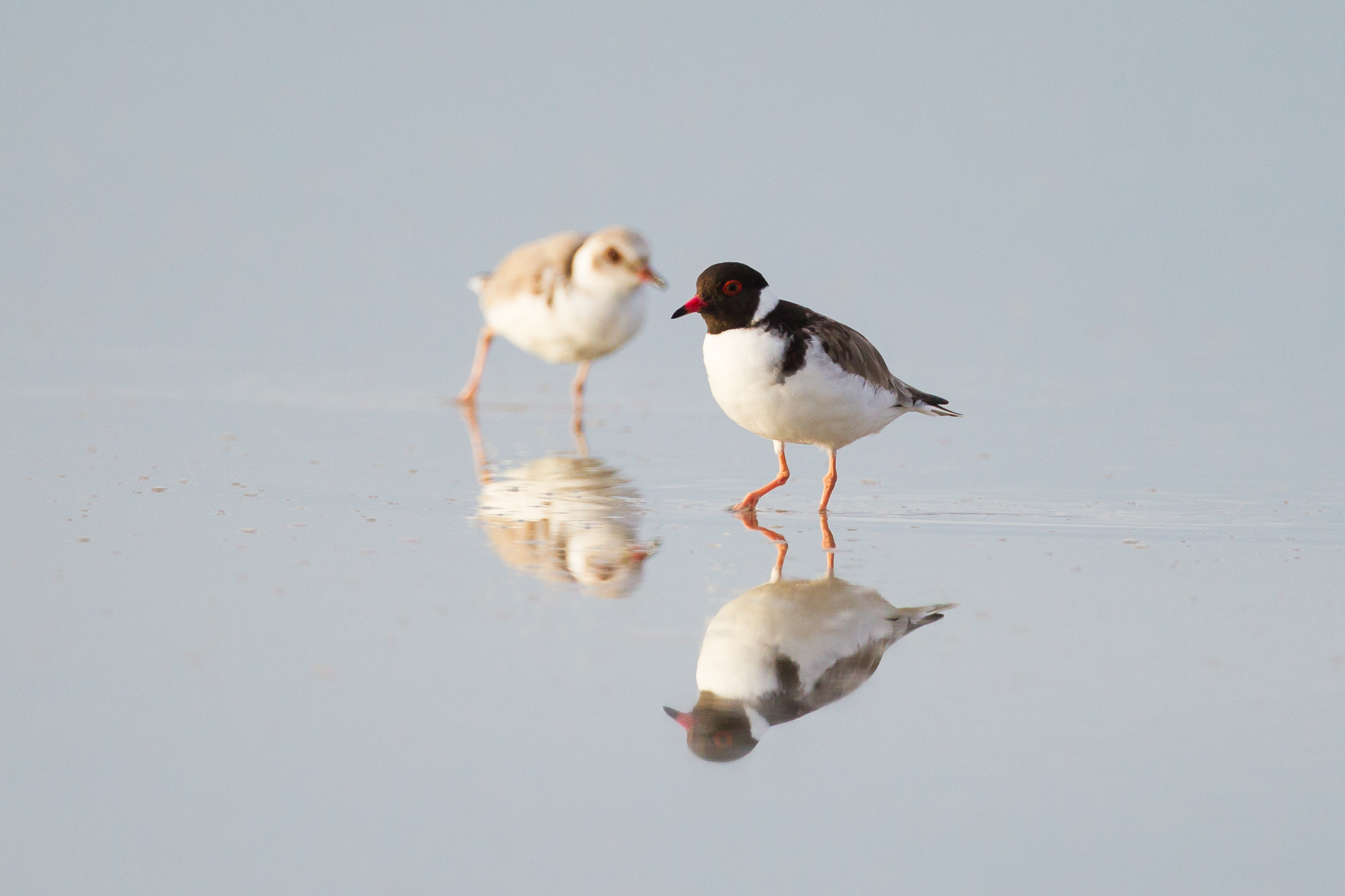
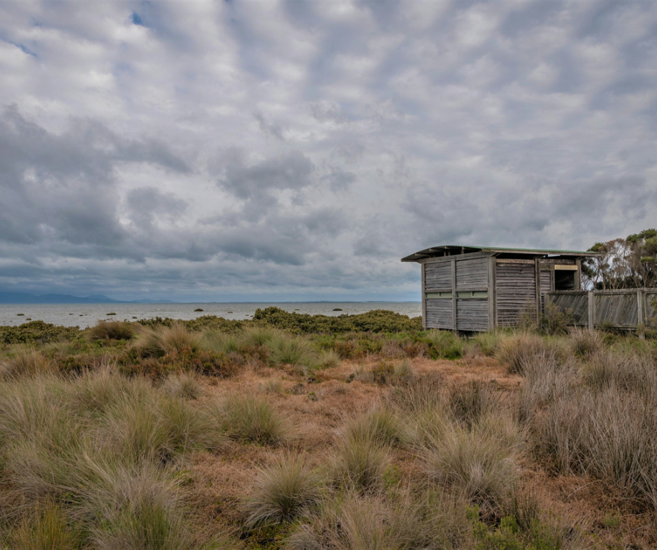
Podcast #76: Hope for Hoodies
There’s a whole lotta plover love in this episode of Gippslandscapes when we chat with Hooded Plover guru Kasun Ekanayake from BirdLife Australia about the plight of the plover, their tenacity in raising chicks on busy summer beaches and how devoted volunteers like David Hartney from Friends of the Hooded Plover – Bass Coast and South Gippsland, are helping to save the species from extinction by protecting their vulnerable nests and chicks from threats of people, pets and predators.
Podcast episode #75 – ‘People & partnerships: highlights of 2024’
Join us on the banks of Screw Creek estuary on beautiful Bunurong Country for a chat with our very own CEO Martin Fuller as he reflects on the highlights of 2024 and shares some of the exciting initiatives in store for the CMA in 2025.
Farmers share irrigation innovation
West Gippsland Catchment Management Authority (CMA), in partnership with Agriculture Victoria, is excited to share the results of the Sustainable Irrigation Program Demonstration Trials, a two-year project aimed at showcasing the benefits of irrigation technology using real-life examples from local farms.
Across the project, dairy farmers in central Gippsland successfully trialled new technologies that demonstrate savings of time, money, water and nutrients while protecting the environment.
“The CMA has been working with farmers for over 25 years, helping to save water and keep nutrients on farm and out of the waterways, including the Gippsland Lakes,” said Bonnie Dawson, Sustainable Agriculture Project Officer at West Gippsland CMA.
“This latest project is another example of the CMA, Agriculture Victoria and farmers working together on innovation in sustainable irrigation techniques that benefit agriculture, the community and the environment.”
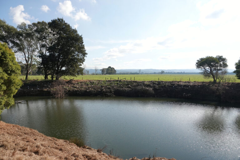
Four irrigators in the Macalister Irrigation District received grant funding to host demonstration sites on their farms. Two focused on best practice management of dairy effluent, with the remaining two focusing on technologies to increase water use efficiency and reduce energy emissions.
“The aim of the demonstration sites was to trial technology and showcase the results with the broader irrigator community through knowledge sharing and field days. In doing this we hope to encourage and support more farmers wanting to adopt similar techniques on their farms,” explained Bonnie.
Newry dairy farmer James Clyne trialled technology that enabled him to customise a pivot irrigation system to better suit the varying terrain and soil profiles of his 300-hectare property. He’s now seeing positive results of less water wastage and an increase in pasture production.
“We’ve noticed an increase in water use efficiency by 20%,” said James. “I would recommend this technology to anyone with a pivot. There are always areas (on farm) getting underwatered or overwatered and this technology just instantly helps with that.”
In Clydebank, organic dairy farmers Wilco Droppert and Sandra Jefford trialled software that could automate their sprinklers according to the amount of solar power available, saving hours of manual labour and maximising their water efficiency and solar energy use.
“Production of pasture has probably increased by at least 25% and the labour saving is just phenomenal. It’s also enabled us to integrate trees into the irrigation system which was not possible before,” said Wilco.
Tinamba dairy farmer Tom Gannon trialled a self-cleaning filter on his pivot irrigator to prevent disruptive and time-consuming blockages in the system when applying effluent.
“In the six months we’ve had the system I haven’t had to manually clean the filter or clean out the sprinkler heads on the pivot. This technology is doing the job, so we’re happy,” said Tom.
After modernising their irrigation infrastructure with an automated effluent distribution system, Jess and Steven Knight used the grant funding to measure the impact the system was having on soil health so they could make better decisions about where and when to apply effluent.
“Being able to distribute effluent on farm in a way that meant it wasn’t going back into the lakes and waterways was really important to us,” said Jess.
All four demonstration trials were completed in mid-2024 with outcomes and learnings now available to the farming community through a series of videos available on the CMA website and through upcoming field days run in partnership with Agriculture Victoria.
“We encourage all irrigators to watch the videos or come along to one of the farm walk events to see the technology in action, speak to the farmers about their experiences, and chat to us about adopting the technology on their farms,” said Bonnie.
Alexis Killoran, Senior Irrigation Extension Officer at Agriculture Victoria, said: “Together we can continue to reduce the environmental impacts of irrigation from the farm itself, all the way down to the Gippsland Lakes.”
This program is funded through the Victorian Government’s Sustainable Irrigation Program.
Power and passion for the Agnes River
It’s all about the power and the passion on this episode of the podcast as we chat with some of the inspiring people involved in a twenty-year partnership project to restore the entire length of the Agnes River and protect the world-renowned Corner Inlet.
Guests:
- Tanya Cowell, Waterways Project Officer at West Gippsland CMA
- Richard (Richie) Allen, Project Delivery Officer at West Gippsland CMA
- Bryan Watterson, local landholder and member of Corner Inlet Landcare
Host:
- Sally O’Neill, West Gippsland CMA
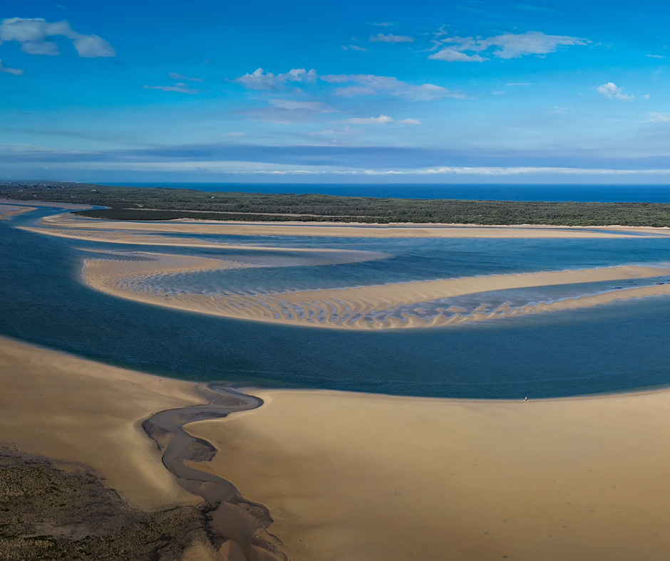
Agnes River is on Gunaikurnai Country and begins in the Strzelecki Ranges, meandering its way into Corner Inlet near the town of Toora. It is well known for the Agnes Falls where the river cascades into a spectacular 59m drop into a deep picturesque gorge.
Last year the CMA removed the last remaining stand of willow trees on the Agnes – a special milestone for the CMA and the community members involved in this project.
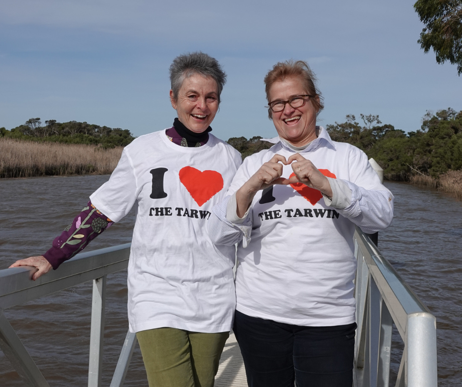
For the love of the Tarwin
In this episode of the Gippslandscapes podcast, Sally, Matt, Jillian and Jenny take a walk along the Tarwin River and through Bald Hills Wetlands Reserve in South Gippsland to talk about coming together as a community to care for a catchment – in their ‘I Love The Tarwin’ project.
Featuring:
- Jillian Staton, President of the Tarwin Landcare Group and Chairman of the South Gippsland Landcare Network
- Jenny O’Sullivan, beef and sheep farmer in Tarwin Lower and committee member of the Tarwin Landcare Group
- Matt Bowler, Project Delivery Manager at West Gippsland Catchment Management Authority.
Host: Sally O’Neill, Communications Manager at West Gippsland Catchment Management Authority.
About the podcast
Gippslandscapes is an occasional podcast, highlighting the many people doing great things caring for the environment and improving the landscapes of our region. Whether they are farmers, “townies” involved in Landcare, or just someone with a passion to make the region a better place.
Each episode will feature one person or group and they are available wherever you get your podcasts. All episodes are archived on Zen-cast and Apple Podcasts.
If you’d like to provide feedback to the Gippslandscapes team you can drop them an email at here or post a review on iTunes.
Partnering to protect the Rainbow
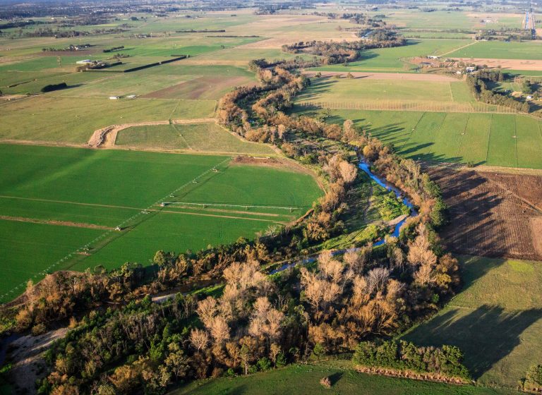
Flowing through farmland in the floodplains between Cowwarr and Heyfield, Rainbow Creek is a short but significant waterway in the West Gippsland catchment.
For the past four years, we have been delivering the Thomson and Rainbow Management Plan to keep the Thomson flowing and to nurture the young, fast flowing Rainbow Creek.
Together with landholders, community and other partners we’ve been weeding, fencing, removing willows and planting native vegetation to strengthen the Rainbow, keep it healthy for local wildlife and communities and protect it from future events.
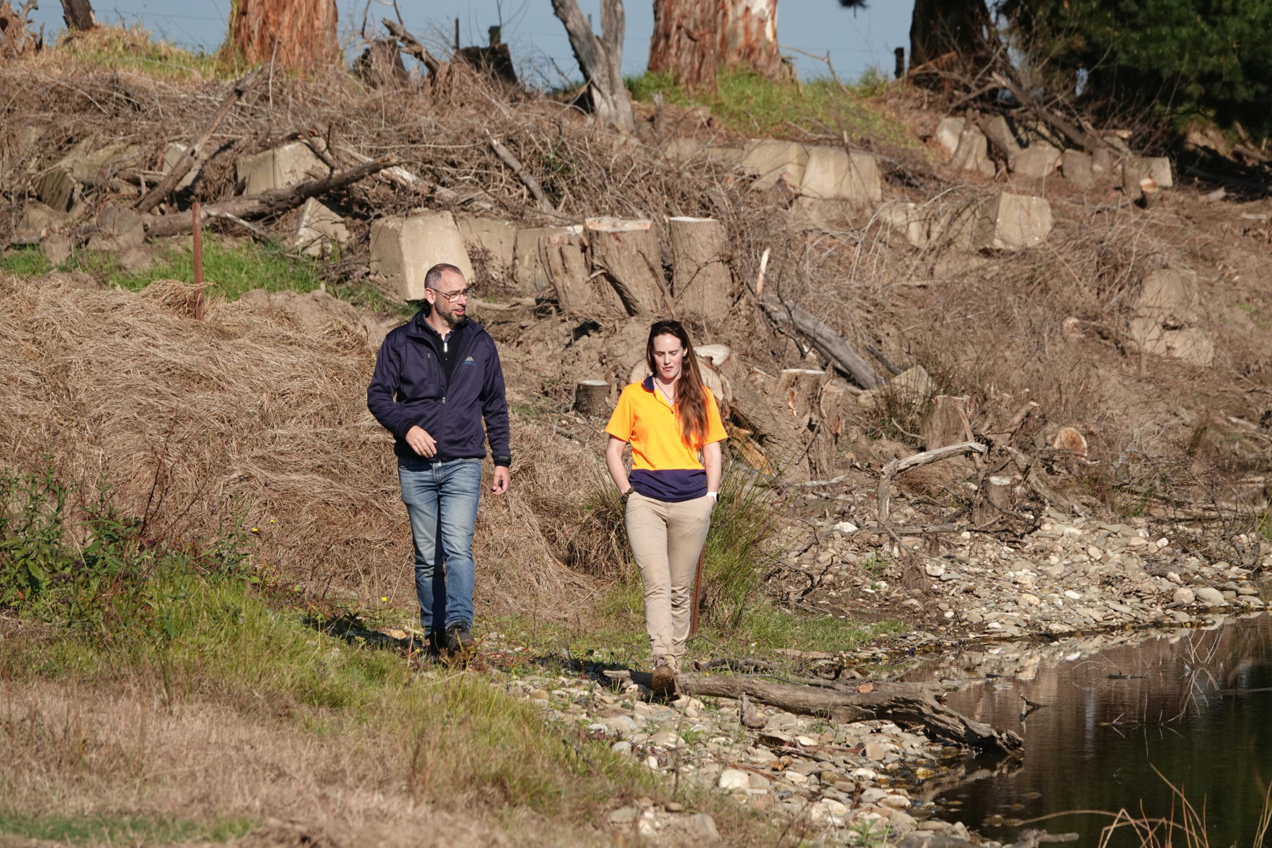
Watch our short video ‘Nurturing a rainbow – Managing the Thomson‘ below, to hear our Waterways Project Officer David Stork and Project Delivery Officer Elsa Burnell talk about the exciting work that’s been happening and what they hope to achieve next.
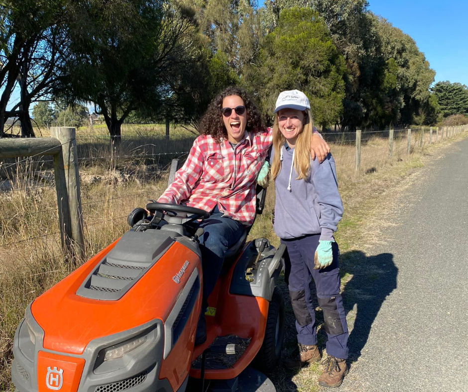
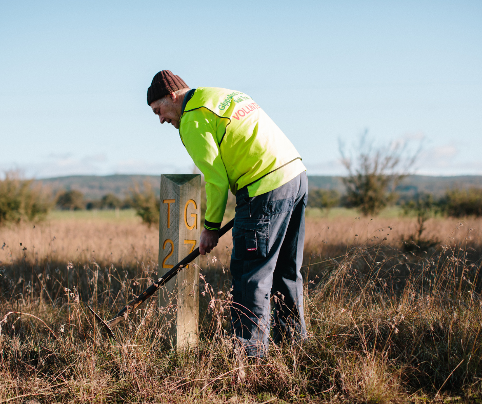
Full steam ahead for rail trail reveg
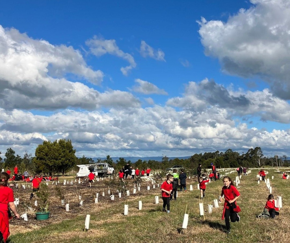
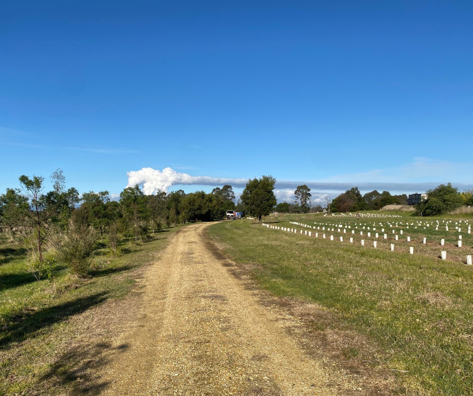
Volunteers of all ages have planted over 20,000 trees and shrubs along the popular Gippsland Plains Rail Trail, transforming what was once bare, neglected land into flourishing forests filled with native plants and birdlife.
The Gippsland Plains Rail Trail winds through Central Gippsland on Gunaikurnai Country, passing through the towns of Glengarry, Toongabbie, Cowwarr, Heyfield, Tinamba and Maffra before finishing at Stratford. The 63 kilometre journey takes in views of the Great Dividing Range and crosses some of the region’s major rivers, the Durt’Yowan (Latrobe), Carran Carran (Thomson) and Wirn Wirndook Yeerung (Macalister).
Over 3,000 cyclists, walkers, runners and horse riders use the trail every month but 25 years ago this popular tourist attraction was nothing but an abandoned railway line flanked by degraded, bare land.
“We started from scratch, and saw revegetation as an important part of what we wanted to do,” said Helen Hoppner, Chair of the Committee of Management and one of the original group of dedicated volunteers who campaigned for the old railway line to be turned into shared recreation path.
With the aim of reinstating an endangered Red Gum Grassy Plains, Ecological Vegetation Class (EVC) –the volunteer committee partnered with local schools, Landcare and communities along the trail to begin work restoring the surrounding landscape.
Apart from scattered patches of remnant Red Gum vegetation, most of the land along the old railway line was bare from over-grazing and had been neglected since the railway line closed in the 1990s.
“The first lot of trees was planted about 25 years ago by Glengarry Scouts at Eaglehawk Creek. That started our connection with schools and organisations,” said Helen.
Since then, volunteers have led 18 planting events along the trail including the much-loved annual National Tree Day event with local primary schools.
“The contribution of the schools is absolutely critical to our tree planting program,” explains Helen. “Without them, and local Landcare groups, this would not be getting done as quickly.
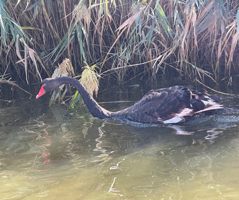
Kids love a tree day. They’re out digging holes, watering plants and learning to put a new tree in the ground. It’s their future.” In Cowwarr, seeds planted by local primary school children and Landcare volunteers have transformed the environment. “They’ve created a forest!” said Helen. “Cowwarr station ground is now filled with birdlife – wrens, robins and lots of beautiful little birds. We’re also noticing swans up near the Maffra section where wetlands naturally formed in the trenches beside the rail trail.”
It’s not just school children who love putting a tree in the ground. All along the rail trail are enthusiastic volunteers supporting the revegetation efforts.
In Traralgon, a local cycling group is working to establish a Red Gum forest along a stretch of the trail between Traralgon to Glengarry, while volunteers from a mental health group keep the newly planted areas at Eaglehawk Creek in top shape with regular weeding, watering and mowing.
Helen says one of the reasons so many people want to help with the revegetation work is because the rail trail and eight station grounds are right in the heart of communities, making them easy to access and highly visible. “People can watch the young plants grow and thrive and see the difference they’re making to the landscape.”
“A lot of people love the trail, want to use it and want to help it,” she said. “Everyone is working together, and they all know there is plenty of scope for more works on the trail.”
Other partners involved in planting and protecting remnant vegetation include Rotary Maffra, Latrobe Catchment Landcare Network, Maffra and District Landcare Network, Glengarry Landcare Group, Wellington Shire, Latrobe City Council and West Gippsland Catchment Management Authority.
Next stop on this revegetation journey is to establish more biolinks along the trail and plant out remaining sections of bare land, particularly between Heyfield and Stratford. Anyone interested in getting involved can visit gippslandplainsrailtrail.com.au for more information.